Bogandé night lights from space
Night Light of Bogandé (Est) from space (Burkina Faso) Src. Average luminocity for 10x10km area is 0.6732% and for 50x50km: 0.0264%.
Analysis of Bogandé night lights 2016
Square area 10x10 km:
 0%
0%90-99
0%80-89
0%70-79
0%60-69
0%50-59
0%40-49
0%30-39
1.73%20-29
0%10-19
0%0-9
98.27%Square area 50x50 km:
0%90-99
0%80-89
0%70-79
0%60-69
0%50-59
0%40-49
0%30-39
0.07%20-29
0%10-19
0%0-9
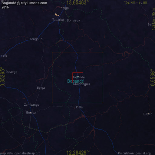
99.93%Clear (daylight) street map image can be seen on geolist.org.
Map coordinates:
13° 39' 16.7" North, 0° 51' 9.5" West
12° 58' 13.4" North, 0° 8' 58.3" West
12° 17' 3.4" North, 0° 33' 13" East
Some cities around Bogandé sort by population:
• Kaya
102.2 km =63.5 mi,  277°
277°
• Dori
119.1 km =74 mi,  5°
5°
• Tenkodogo
134.5 km =83.6 mi,  190°
190°
• Fada N'gourma
115.1 km =71.5 mi,  151°
151°
• Koupéla
90.7 km =56.4 mi, 193°
• Zorgo
94.8 km =58.9 mi,  212°
212°
• Boulsa
57.1 km =35.5 mi,  233°
233°
• Ziniaré
131.7 km =81.8 mi,  250°
250°
2362323 (p: 9,854)
Sources (retrieved 2019-11-25):
» Earth at Night: Flat Maps 2012, 2016