Kollo night lights from space
Night Light of Kollo (Tillabéri) from space (Niger) Src. Average luminocity for 10x10km area is 0% and for 50x50km: 2.6125%.
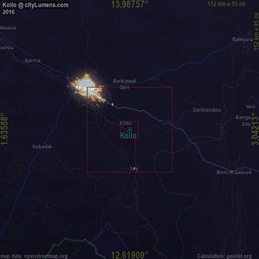
Analysis of Kollo night lights 2016
Square area 10x10 km:
 0%
0%90-99
0%80-89
0%70-79
0%60-69
0%50-59
0%40-49
0%30-39
0%20-29
0%10-19
0%0-9
100%Square area 50x50 km:
0.38%90-99
0.39%80-89
0.28%70-79
0.68%60-69
0.37%50-59
0.33%40-49
0.47%30-39
0.23%20-29
0.43%10-19
1.29%0-9
95.15%Clear (daylight) street map image can be seen on geolist.org.
Map coordinates:
13° 59' 15.3" North, 1° 38' 9.2" East
13° 18' 15.5" North, 2° 20' 20.4" East
12° 37' 8.7" North, 3° 2' 31.7" East
Some cities around Kollo sort by population:
• Niamey
34 km =21.1 mi,  313°
313°
• Dosso
96.8 km =60.1 mi,  107°
107°
• Diapaga, BF
149.4 km =92.8 mi,  203°
203°
• Tillabéri
138.6 km =86.1 mi,  316°
316°
• Kangiwa, NG
180.7 km =112.3 mi,  117°
117°
• Filingué
157.2 km =97.7 mi,  42°
42°
• Say
22.9 km =14.2 mi,  171°
171°
• Ouallam
115.8 km =72 mi,  346°
346°
2442248 (p: 10,376)
Sources (retrieved 2019-11-25):
» Earth at Night: Flat Maps 2012, 2016