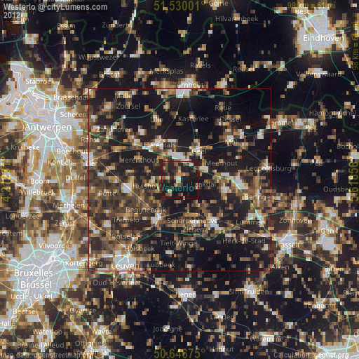
Westerlo night lights from space
Night Light of Westerlo (Flanders) from space (Belgium) Src. Average luminocity for 10x10km area is 22.258% and for 50x50km: 29.766%.
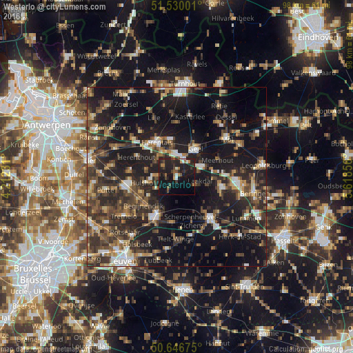
Analysis of Westerlo night lights 2016
Square area 10x10 km:
 1.47%
1.47%90-99
2.01%80-89
0%70-79
2.27%60-69
3.48%50-59
2.54%40-49
3.34%30-39
4.14%20-29
17.91%10-19
36.23%0-9
26.6%Square area 50x50 km:
2.87%90-99
3.5%80-89
2.58%70-79
3.18%60-69
3.97%50-59
5.02%40-49
6.9%30-39
7.4%20-29
12.48%10-19
27.48%0-9
24.61%Clear (daylight) street map image can be seen on geolist.org.
Map coordinates:
51° 31' 48" North, 4° 12' 44.3" East
51° 5' 25.8" North, 4° 54' 55.6" East
50° 38' 48.3" North, 5° 37' 6.8" East
Some cities around Westerlo sort by population:
• Geel
9.8 km =6.1 mi,  31°
31°
• Herentals
11.2 km =7 mi,  328°
328°
• Tessenderlo
12.4 km =7.7 mi,  103°
103°
• Herselt
4.9 km =3 mi,  208°
208°
• Olen
7.1 km =4.4 mi, 326°
• Meerhout
12.3 km =7.6 mi,  67°
67°
• Hulshout
8.9 km =5.5 mi,  258°
258°
• Begijnendijk
12.1 km =7.5 mi,  229°
229°
2783801 (p: 22,579)
Sources (retrieved 2019-11-25):
» Earth at Night: Flat Maps 2012, 2016