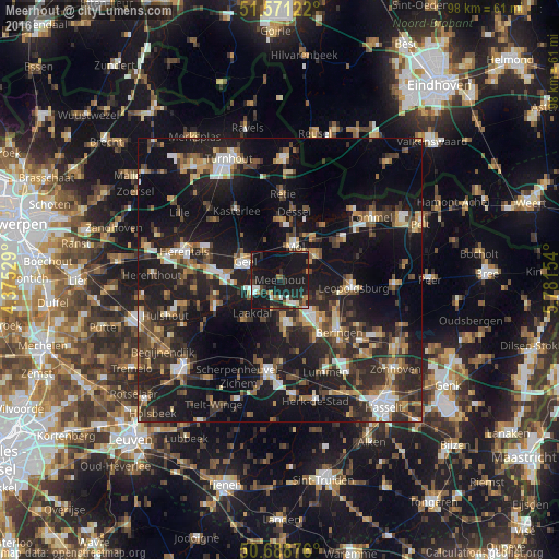
Meerhout night lights from space
Night Light of Meerhout (Flanders) from space (Belgium) Src. Average luminocity for 10x10km area is 24.4091% and for 50x50km: 26.0735%.
Analysis of Meerhout night lights 2016
Square area 10x10 km:
 1.74%
1.74%90-99
4.14%80-89
0.67%70-79
1.07%60-69
3.07%50-59
3.61%40-49
2.67%30-39
3.21%20-29
9.76%10-19
57.09%0-9
12.97%Square area 50x50 km:
2.79%90-99
3.2%80-89
2.03%70-79
2.79%60-69
3.31%50-59
4.05%40-49
4.83%30-39
4.98%20-29
11.14%10-19
27.76%0-9
33.13%Clear (daylight) street map image can be seen on geolist.org.
Map coordinates:
51° 34' 16.4" North, 4° 22' 31" East
51° 7' 55.6" North, 5° 4' 42.3" East
50° 41' 19.5" North, 5° 46' 53.5" East
Some cities around Meerhout sort by population:
• Beringen
13.8 km =8.6 mi,  131°
131°
• Geel
7.3 km =4.5 mi,  300°
300°
• Mol
7.2 km =4.5 mi,  21°
21°
• Westerlo
12.3 km =7.6 mi,  247°
247°
• Balen
7.6 km =4.7 mi,  57°
57°
• Tessenderlo
7.5 km =4.7 mi,  174°
174°
• Leopoldsburg
12.1 km =7.5 mi,  98°
98°
• Dessel
12.1 km =7.5 mi,  11°
11°
2791494 (p: 9,346)
Sources (retrieved 2019-11-25):
» Earth at Night: Flat Maps 2012, 2016