Geel night lights from space
Night Light of Geel (Flanders) from space (Belgium) Src. Average luminocity for 10x10km area is 26.5588% and for 50x50km: 26.0897%.
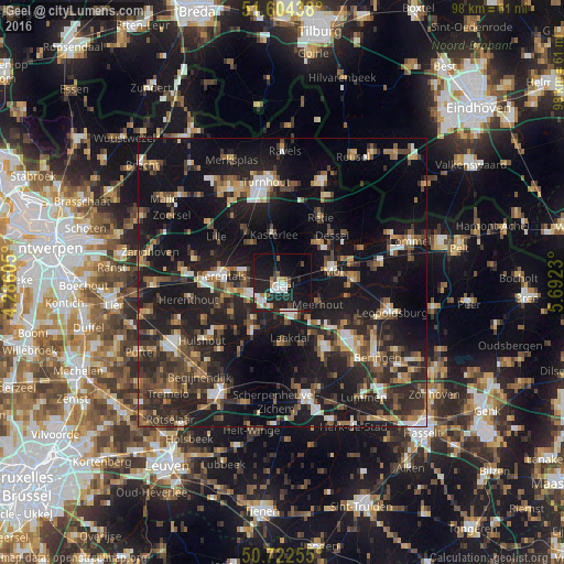
Analysis of Geel night lights 2016
Square area 10x10 km:
100  4.95%
4.95%
90-99 5.21%
80-89 0.67%
70-79 1.6%
60-69 2.81%
50-59 2.67%
40-49 2.41%
30-39 2.01%
20-29 14.04%
10-19 35.56%
0-9 28.07%
4.95%90-99
5.21%80-89
0.67%70-79
1.6%60-69
2.81%50-59
2.67%40-49
2.41%30-39
2.01%20-29
14.04%10-19
35.56%0-9
28.07%Square area 50x50 km:
100 2.5%
90-99 2.99%
80-89 2.05%
70-79 2.75%
60-69 3.39%
50-59 4.32%
40-49 5.12%
30-39 5.14%
20-29 11.78%
10-19 29.17%
0-9 30.81%
2.5%90-99
2.99%80-89
2.05%70-79
2.75%60-69
3.39%50-59
4.32%40-49
5.12%30-39
5.14%20-29
11.78%10-19
29.17%0-9
30.81%Clear (daylight) street map image can be seen on geolist.org.
Map coordinates:
51° 36' 15.8" North, 4° 17' 9.8" East
51° 9' 56.1" North, 4° 59' 21" East
50° 43' 21.2" North, 5° 41' 32.3" East
Some cities around Geel sort by population:
• Mol
9.4 km =5.8 mi,  71°
71°
• Herentals
11 km =6.8 mi,  276°
276°
• Westerlo
9.8 km =6.1 mi,  211°
211°
• Balen
12.6 km =7.8 mi,  88°
88°
• Kasterlee
8.6 km =5.3 mi,  349°
349°
• Olen
9.3 km =5.8 mi,  255°
255°
• Meerhout
7.3 km =4.5 mi,  120°
120°
• Dessel
11.9 km =7.4 mi,  47°
47°
2797779 (p: 34,697)
Sources (retrieved 2019-11-25):
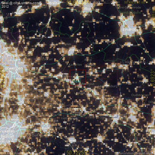
» Earth at Night: Flat Maps 2012, 2016