Verviers night lights from space
Night Light of Verviers (Wallonia) from space (Belgium) Src. Average luminocity for 10x10km area is 36.2727% and for 50x50km: 19.0135%.
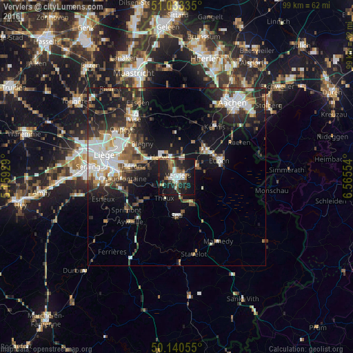
Analysis of Verviers night lights 2016
Square area 10x10 km:
 6.68%
6.68%90-99
7.22%80-89
2.54%70-79
1.2%60-69
5.75%50-59
2.41%40-49
5.48%30-39
6.82%20-29
16.44%10-19
39.3%0-9
6.15%Square area 50x50 km:
3.54%90-99
4.14%80-89
1.52%70-79
1.37%60-69
2.15%50-59
2.58%40-49
2.63%30-39
2.85%20-29
6.2%10-19
13.27%0-9
59.75%Clear (daylight) street map image can be seen on geolist.org.
Map coordinates:
51° 2' 0.1" North, 5° 9' 33.4" East
50° 35' 20.7" North, 5° 51' 44.7" East
50° 8' 26" North, 6° 33' 55.9" East
Some cities around Verviers sort by population:
• Herve
7.5 km =4.7 mi,  319°
319°
• Soumagne
8.6 km =5.3 mi,  288°
288°
• Dison
2.4 km =1.5 mi,  344°
344°
• Theux
7.1 km =4.4 mi,  209°
209°
• Pepinster
4.4 km =2.7 mi,  247°
247°
• Welkenraedt
11 km =6.8 mi,  43°
43°
• Jalhay
8.2 km =5.1 mi,  114°
114°
• Limbourg
6.1 km =3.8 mi,  65°
65°
2784821 (p: 52,824)
Sources (retrieved 2019-11-25):
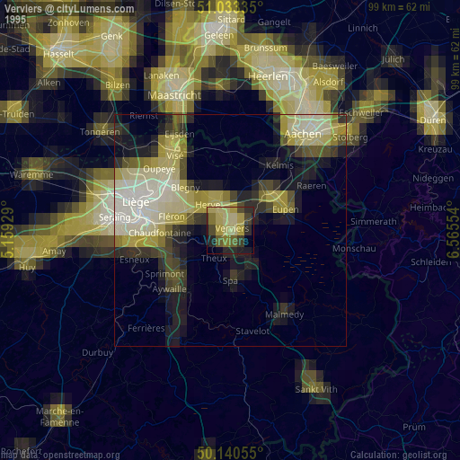
» NASA, Earths city lights 1995
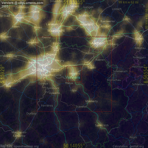
» NASA city lights 2003
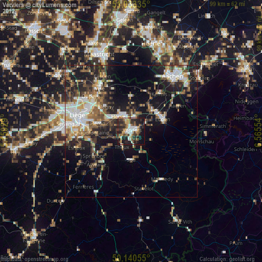
» Earth at Night: Flat Maps 2012, 2016