Pecq night lights from space
Night Light of Pecq (Wallonia) from space (Belgium) Src. Average luminocity for 10x10km area is 32.6564% and for 50x50km: 41.2046%.
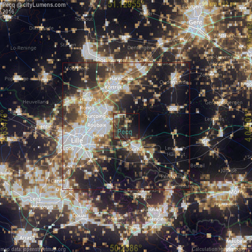
Analysis of Pecq night lights 2016
Square area 10x10 km:
 0.67%
0.67%90-99
3.21%80-89
2.54%70-79
3.48%60-69
2.54%50-59
6.68%40-49
10.83%30-39
12.7%20-29
27.67%10-19
17.65%0-9
12.03%Square area 50x50 km:
9.94%90-99
7.29%80-89
3.39%70-79
4.49%60-69
5.56%50-59
6.06%40-49
5.74%30-39
6.66%20-29
11.14%10-19
19.04%0-9
20.7%Clear (daylight) street map image can be seen on geolist.org.
Map coordinates:
51° 7' 46.4" North, 2° 38' 5.1" East
50° 41' 10.3" North, 3° 20' 16.4" East
50° 14' 19" North, 4° 2' 27.6" East
Some cities around Pecq sort by population:
• Tournai
9.5 km =5.9 mi,  157°
157°
• Mouscron
11.3 km =7 mi,  305°
305°
• Wattrelos, FR
8.6 km =5.3 mi,  281°
281°
• Hem, FR
11.3 km =7 mi,  250°
250°
• Lys-lez-Lannoy, FR
8.8 km =5.5 mi,  255°
255°
• Leers, FR
6.6 km =4.1 mi,  266°
266°
• Estaimpuis
5.4 km =3.4 mi,  292°
292°
• Celles
8.9 km =5.5 mi,  70°
70°
2789236 (p: 5,301)
Sources (retrieved 2019-11-25):
» Earth at Night: Flat Maps 2012, 2016