Namur night lights from space
Night Light of Namur (Wallonia) from space (Belgium) Src. Average luminocity for 10x10km area is 58.2087% and for 50x50km: 15.7746%.
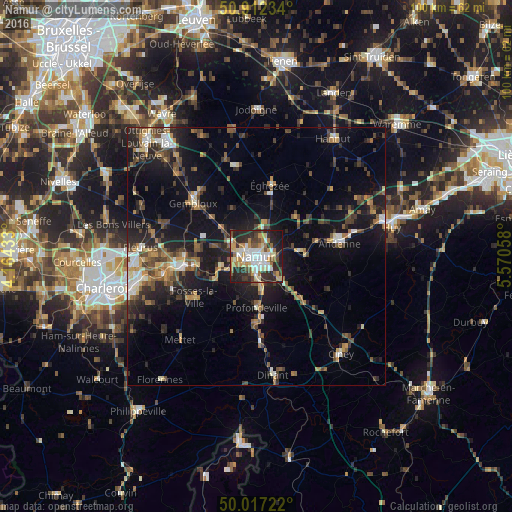
Analysis of Namur night lights 2016
Square area 10x10 km:
 10.92%
90-99
14.43%80-89
7.7%70-79
9.24%60-69
7.98%50-59
4.06%40-49
6.44%30-39
7.98%20-29
23.95%10-19
7.28%0-9
0%Square area 50x50 km:
1.37%90-99
2.12%80-89
1.34%70-79
1.75%60-69
2.07%50-59
2.4%40-49
3.5%30-39
2.91%20-29
5.49%10-19
12.58%0-9
64.47%Clear (daylight) street map image can be seen on geolist.org.
Map coordinates:
50° 54' 44.4" North, 4° 9' 51.6" East
50° 28' 0.8" North, 4° 52' 2.9" East
50° 1' 2" North, 5° 34' 14.1" East
Some cities around Namur sort by population:
• Andenne
16.3 km =10.1 mi,  81°
81°
• Gembloux
15.9 km =9.9 mi,  311°
311°
• Éghezée
14.1 km =8.8 mi,  12°
12°
• Profondeville
10.1 km =6.3 mi,  180°
180°
• Fosses-la-Ville
14.5 km =9 mi,  236°
236°
• Yvoir
15.5 km =9.6 mi, 176°
• Floreffe
8.4 km =5.2 mi, 244°
• Assesse
15.4 km =9.6 mi,  134°
134°
2790471 (p: 106,284)
Sources (retrieved 2019-11-25):
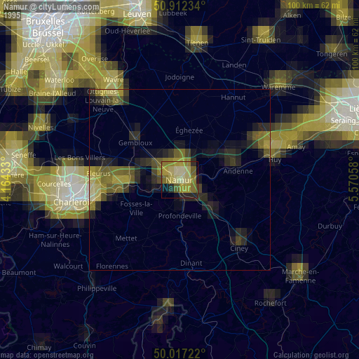
» NASA, Earths city lights 1995
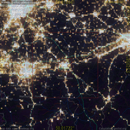
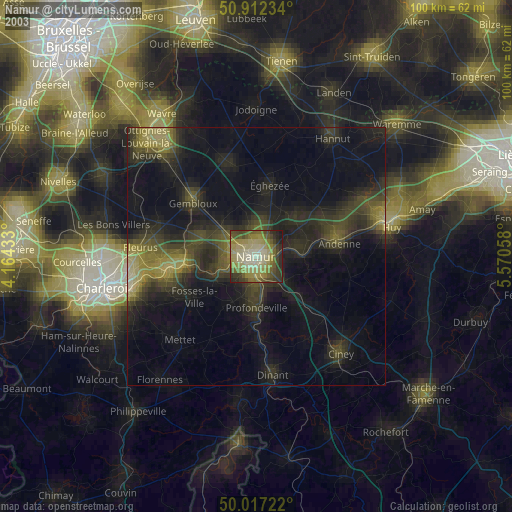
» NASA city lights 2003
» Earth at Night: Flat Maps 2012, 2016