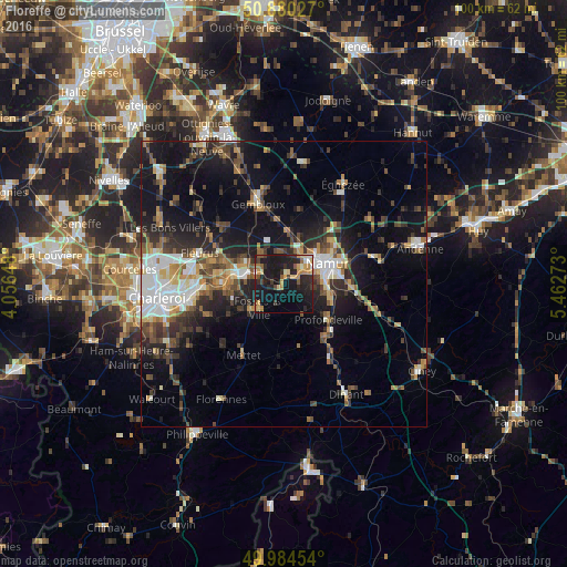
Floreffe night lights from space
Night Light of Floreffe (Wallonia) from space (Belgium) Src. Average luminocity for 10x10km area is 27.7773% and for 50x50km: 19.025%.
Analysis of Floreffe night lights 2016
Square area 10x10 km:
 0.56%
0.56%90-99
2.66%80-89
4.9%70-79
5.46%60-69
3.92%50-59
3.08%40-49
1.82%30-39
4.48%20-29
13.87%10-19
39.08%0-9
20.17%Square area 50x50 km:
2.62%90-99
3.08%80-89
1.69%70-79
2.02%60-69
2.36%50-59
2.59%40-49
3.56%30-39
3.29%20-29
5.83%10-19
14.02%0-9
58.94%Clear (daylight) street map image can be seen on geolist.org.
Map coordinates:
50° 52' 49" North, 4° 3' 23.3" East
50° 26' 4.3" North, 4° 45' 34.6" East
49° 59' 4.3" North, 5° 27' 45.8" East
Some cities around Floreffe sort by population:
• Namur
8.4 km =5.2 mi,  64°
64°
• Gembloux
14.8 km =9.2 mi,  343°
343°
• Mettet
14.4 km =8.9 mi,  208°
208°
• Profondeville
9.9 km =6.2 mi,  131°
131°
• Aiseau
12.5 km =7.8 mi,  258°
258°
• Fosses-la-Ville
6.3 km =3.9 mi,  225°
225°
• La Bruyère
11.2 km =7 mi,  246°
246°
• Yvoir
14.6 km =9.1 mi,  144°
144°
2798279 (p: 7,480)
Sources (retrieved 2019-11-25):
» Earth at Night: Flat Maps 2012, 2016