Gembloux night lights from space
Night Light of Gembloux (Wallonia) from space (Belgium) Src. Average luminocity for 10x10km area is 16.5789% and for 50x50km: 27.8164%.
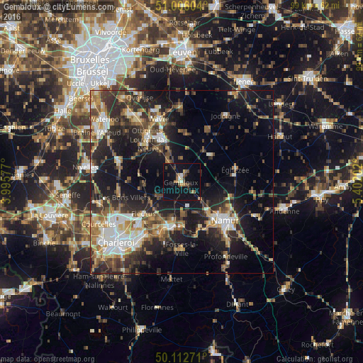
Analysis of Gembloux night lights 2016
Square area 10x10 km:
 0.4%
0.4%90-99
1.6%80-89
1.2%70-79
2.14%60-69
2.14%50-59
2.01%40-49
4.28%30-39
1.2%20-29
2.54%10-19
24.87%0-9
57.62%Square area 50x50 km:
3.57%90-99
4.57%80-89
2.81%70-79
3.45%60-69
4.03%50-59
3.81%40-49
5.01%30-39
5.36%20-29
9.54%10-19
17.42%0-9
40.43%Clear (daylight) street map image can be seen on geolist.org.
Map coordinates:
51° 0' 21.7" North, 3° 59' 44.8" East
50° 33' 41.4" North, 4° 41' 56" East
50° 6' 45.8" North, 5° 24' 7.3" East
Some cities around Gembloux sort by population:
• Chaumont-Gistoux
13 km =8.1 mi,  6°
6°
• Villers-la-Ville
12.9 km =8 mi,  272°
272°
• Court-Saint-Étienne
12.2 km =7.6 mi,  311°
311°
• Sombreffe
7.8 km =4.8 mi,  242°
242°
• Perwez
10.7 km =6.6 mi,  49°
49°
• Mont-Saint-Guibert
10.2 km =6.3 mi,  322°
322°
• Chastre-Villeroux-Blanmont
6.6 km =4.1 mi, 322°
• Walhain-Saint-Paul
7.2 km =4.5 mi,  359°
359°
2797713 (p: 21,676)
Sources (retrieved 2019-11-25):
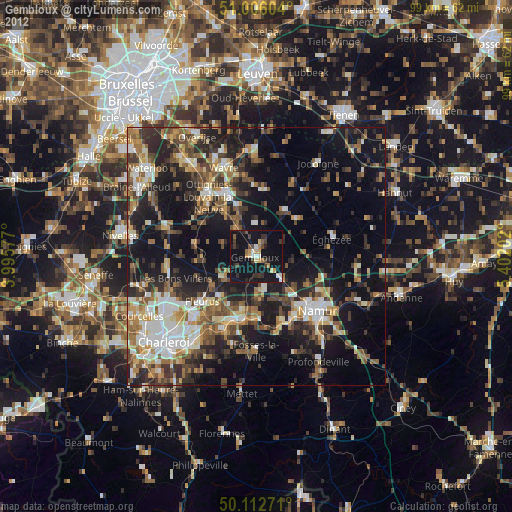
» Earth at Night: Flat Maps 2012, 2016