Andenne night lights from space
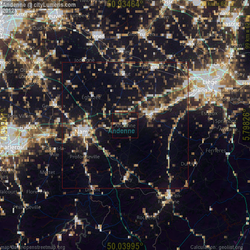
Night Light of Andenne (Wallonia) from space (Belgium) Src. Average luminocity for 10x10km area is 17.8403% and for 50x50km: 13.9257%.
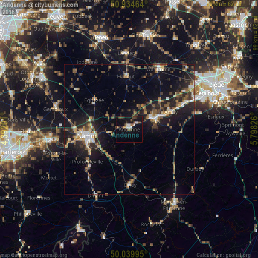
Analysis of Andenne night lights 2016
Square area 10x10 km:
 2.52%
2.52%90-99
2.8%80-89
1.4%70-79
0.56%60-69
2.24%50-59
1.12%40-49
4.2%30-39
2.8%20-29
2.66%10-19
19.75%0-9
59.94%Square area 50x50 km:
1.2%90-99
1.61%80-89
1.25%70-79
1.55%60-69
1.66%50-59
2.21%40-49
2.85%30-39
2.6%20-29
5.05%10-19
11.73%0-9
68.29%Clear (daylight) street map image can be seen on geolist.org.
Map coordinates:
50° 56' 4.7" North, 4° 23' 31.2" East
50° 29' 21.9" North, 5° 5' 42.5" East
50° 2' 23.8" North, 5° 47' 53.7" East
Some cities around Andenne sort by population:
• Namur
16.3 km =10.1 mi,  261°
261°
• Huy
10.3 km =6.4 mi,  71°
71°
• Wanze
9.7 km =6 mi,  55°
55°
• Assesse
14.3 km =8.9 mi,  201°
201°
• Gesves
9.9 km =6.2 mi,  188°
188°
• Villers-le-Bouillet
15.2 km =9.4 mi,  49°
49°
• Braives
14.5 km =9 mi,  10°
10°
• Marchin
10.7 km =6.6 mi,  103°
103°
2803204 (p: 24,055)
Sources (retrieved 2019-11-25):
» Earth at Night: Flat Maps 2012, 2016