Manage night lights from space
Night Light of Manage (Wallonia) from space (Belgium) Src. Average luminocity for 10x10km area is 65.4244% and for 50x50km: 34.9475%.
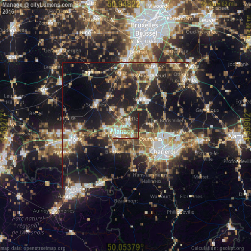
Analysis of Manage night lights 2016
Square area 10x10 km:
 13.31%
90-99
16.11%80-89
5.88%70-79
8.4%60-69
12.18%50-59
14.99%40-49
7.98%30-39
7.56%20-29
12.18%10-19
1.4%0-9
0%Square area 50x50 km:
4.75%90-99
5.74%80-89
3.54%70-79
4.41%60-69
5.26%50-59
5.67%40-49
6.01%30-39
6.93%20-29
11.88%10-19
21.25%0-9
24.56%Clear (daylight) street map image can be seen on geolist.org.
Map coordinates:
50° 56' 53.6" North, 3° 31' 58" East
50° 30' 11.2" North, 4° 14' 9.2" East
50° 3' 13.6" North, 4° 56' 20.5" East
Some cities around Manage sort by population:
• La Louvière
3.9 km =2.4 mi,  241°
241°
• Courcelles
10.8 km =6.7 mi,  114°
114°
• Morlanwelz-Mariemont
5.4 km =3.4 mi,  172°
172°
• Pont-à-Celles
9.4 km =5.8 mi,  88°
88°
• Chapelle-lez-Herlaimont
4.8 km =3 mi,  137°
137°
• Seneffe
3.7 km =2.3 mi,  31°
31°
• Écaussinnes-d’Enghien
8.8 km =5.5 mi,  325°
325°
• Roeulx
8.8 km =5.5 mi,  270°
270°
2791814 (p: 22,196)
Sources (retrieved 2019-11-25):
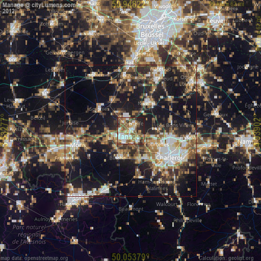
» Earth at Night: Flat Maps 2012, 2016