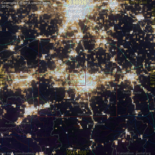
Courcelles night lights from space
Night Light of Courcelles (Wallonia) from space (Belgium) Src. Average luminocity for 10x10km area is 67.9342% and for 50x50km: 30.6206%.
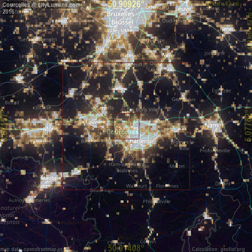
Analysis of Courcelles night lights 2016
Square area 10x10 km:
 13.31%
90-99
13.73%80-89
7.84%70-79
11.62%60-69
19.61%50-59
9.94%40-49
5.88%30-39
9.24%20-29
8.82%10-19
0%0-9
0%Square area 50x50 km:
3.87%90-99
4.81%80-89
2.81%70-79
3.94%60-69
4.8%50-59
4.92%40-49
5.51%30-39
5.67%20-29
10.52%10-19
21.53%0-9
31.61%Clear (daylight) street map image can be seen on geolist.org.
Map coordinates:
50° 54' 33.3" North, 3° 40' 17.7" East
50° 27' 49.6" North, 4° 22' 28.9" East
50° 0' 50.7" North, 5° 4' 40.2" East
Some cities around Courcelles sort by population:
• Charleroi
7.6 km =4.7 mi,  139°
139°
• Manage
10.8 km =6.7 mi,  294°
294°
• Morlanwelz-Mariemont
9.2 km =5.7 mi,  263°
263°
• Pont-à-Celles
4.6 km =2.9 mi,  354°
354°
• Chapelle-lez-Herlaimont
6.6 km =4.1 mi,  277°
277°
• Anderlues
9.7 km =6 mi,  229°
229°
• Seneffe
10.9 km =6.8 mi,  313°
313°
• Brunehault
6.1 km =3.8 mi,  41°
41°
2800063 (p: 29,473)
Sources (retrieved 2019-11-25):
» Earth at Night: Flat Maps 2012, 2016