La Louvière night lights from space
Night Light of La Louvière (Wallonia) from space (Belgium) Src. Average luminocity for 10x10km area is 69.2773% and for 50x50km: 34.2888%.
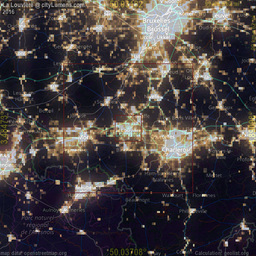
Analysis of La Louvière night lights 2016
Square area 10x10 km:
 13.45%
90-99
18.35%80-89
9.38%70-79
9.38%60-69
11.06%50-59
14.71%40-49
4.2%30-39
11.76%20-29
7.56%10-19
0.14%0-9
0%Square area 50x50 km:
4.88%90-99
5.72%80-89
3.49%70-79
4.42%60-69
4.94%50-59
5.35%40-49
5.42%30-39
6.45%20-29
11.62%10-19
21.96%0-9
25.74%Clear (daylight) street map image can be seen on geolist.org.
Map coordinates:
50° 55' 54.6" North, 3° 29' 5" East
50° 29' 11.7" North, 4° 11' 16.3" East
50° 2' 13.5" North, 4° 53' 27.5" East
Some cities around La Louvière sort by population:
• Binche
8.5 km =5.3 mi,  191°
191°
• Manage
3.9 km =2.4 mi,  61°
61°
• Morlanwelz-Mariemont
5.4 km =3.4 mi,  130°
130°
• Chapelle-lez-Herlaimont
6.9 km =4.3 mi,  104°
104°
• Seneffe
7.3 km =4.5 mi,  46°
46°
• Écaussinnes-d’Enghien
9.2 km =5.7 mi,  350°
350°
• Roeulx
5.7 km =3.5 mi,  289°
289°
• Estinnes-au-Val
10.3 km =6.4 mi,  214°
214°
2793508 (p: 76,668)
Sources (retrieved 2019-11-25):
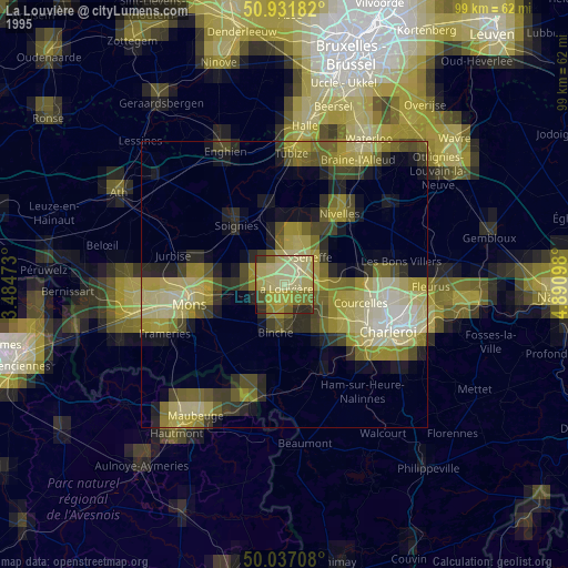
» NASA, Earths city lights 1995
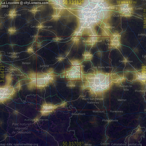
» NASA city lights 2003
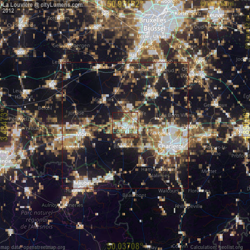
» Earth at Night: Flat Maps 2012, 2016