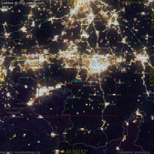
Lobbes night lights from space
Night Light of Lobbes (Wallonia) from space (Belgium) Src. Average luminocity for 10x10km area is 18.0798% and for 50x50km: 27.0524%.
Analysis of Lobbes night lights 2016
Square area 10x10 km:
 0.28%
0.28%90-99
0.28%80-89
0.98%70-79
1.4%60-69
4.76%50-59
2.8%40-49
4.2%30-39
1.82%20-29
11.76%10-19
27.45%0-9
44.26%Square area 50x50 km:
4.07%90-99
4.79%80-89
2.74%70-79
3.24%60-69
4.04%50-59
4.11%40-49
4.58%30-39
4.85%20-29
8.59%10-19
14.09%0-9
44.89%Clear (daylight) street map image can be seen on geolist.org.
Map coordinates:
50° 47' 56.8" North, 3° 33' 50.5" East
50° 21' 9.3" North, 4° 16' 1.8" East
49° 54' 6.6" North, 4° 58' 13" East
Some cities around Lobbes sort by population:
• Binche
9.8 km =6.1 mi,  312°
312°
• Morlanwelz-Mariemont
11.5 km =7.1 mi,  352°
352°
• Thuin
2 km =1.2 mi,  137°
137°
• Chapelle-lez-Herlaimont
13.2 km =8.2 mi,  4°
4°
• Anderlues
6.1 km =3.8 mi, 2°
• Erquelinnes
12.2 km =7.6 mi,  245°
245°
• Estinnes-au-Val
13.2 km =8.2 mi,  299°
299°
• Beaumont
13 km =8.1 mi,  188°
188°
2792245 (p: 5,467)
Sources (retrieved 2019-11-25):
» Earth at Night: Flat Maps 2012, 2016