Beaumont night lights from space
Night Light of Beaumont (Wallonia) from space (Belgium) Src. Average luminocity for 10x10km area is 2.496% and for 50x50km: 17.9384%.
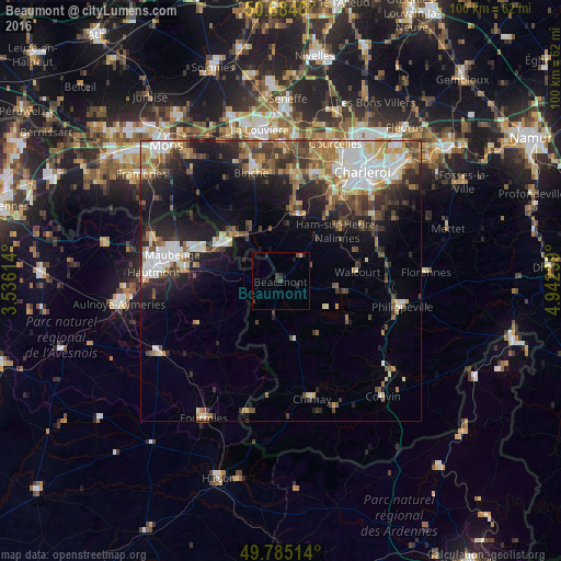
Analysis of Beaumont night lights 2016
Square area 10x10 km:
 0%
0%90-99
0%80-89
0%70-79
0.53%60-69
0%50-59
0%40-49
0.94%30-39
2.27%20-29
1.2%10-19
0.94%0-9
94.12%Square area 50x50 km:
2.92%90-99
3.26%80-89
1.92%70-79
2%60-69
2.36%50-59
2.67%40-49
3.04%30-39
2.99%20-29
4.9%10-19
8.7%0-9
65.25%Clear (daylight) street map image can be seen on geolist.org.
Map coordinates:
50° 41' 4.6" North, 3° 32' 10.1" East
50° 14' 13.2" North, 4° 14' 21.3" East
49° 47' 6.5" North, 4° 56' 32.6" East
Some cities around Beaumont sort by population:
• Maubeuge, FR
19.5 km =12.1 mi,  283°
283°
• Walcourt
14.3 km =8.9 mi,  82°
82°
• Thuin
11.9 km =7.4 mi,  16°
16°
• Anderlues
19 km =11.8 mi,  6°
6°
• Jeumont, FR
11.8 km =7.3 mi,  304°
304°
• Erquelinnes
12 km =7.5 mi,  310°
310°
• Ferrière-la-Grande, FR
17.6 km =10.9 mi, 276°
• Lobbes
13 km =8.1 mi, 8°
2802510 (p: 6,645)
Sources (retrieved 2019-11-25):
» Earth at Night: Flat Maps 2012, 2016