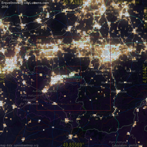
Erquelinnes night lights from space
Night Light of Erquelinnes (Wallonia) from space (Belgium) Src. Average luminocity for 10x10km area is 20.885% and for 50x50km: 24.9755%.
Analysis of Erquelinnes night lights 2016
Square area 10x10 km:
 2.81%
2.81%90-99
3.88%80-89
0.94%70-79
2.41%60-69
0.67%50-59
2.54%40-49
5.48%30-39
2.14%20-29
3.48%10-19
27.01%0-9
48.66%Square area 50x50 km:
3.7%90-99
4.34%80-89
2.73%70-79
3.12%60-69
3.82%50-59
4.33%40-49
3.83%30-39
4.1%20-29
7.54%10-19
12.52%0-9
49.98%Clear (daylight) street map image can be seen on geolist.org.
Map coordinates:
50° 45' 13.8" North, 3° 24' 29.4" East
50° 18' 24.8" North, 4° 6' 40.6" East
49° 51' 20.5" North, 4° 48' 51.9" East
Some cities around Erquelinnes sort by population:
• Maubeuge, FR
10.3 km =6.4 mi,  252°
252°
• Binche
12.2 km =7.6 mi,  18°
18°
• Jeumont, FR
1.4 km =0.9 mi,  212°
212°
• Estinnes-au-Val
11.5 km =7.1 mi,  357°
357°
• Louvroil, FR
11.6 km =7.2 mi, 245°
• Beaumont
12 km =7.5 mi,  130°
130°
• Ferrière-la-Grande, FR
10.2 km =6.3 mi,  235°
235°
• Lobbes
12.2 km =7.6 mi,  65°
65°
2798666 (p: 9,396)
Sources (retrieved 2019-11-25):
» Earth at Night: Flat Maps 2012, 2016