Binche night lights from space
Night Light of Binche (Wallonia) from space (Belgium) Src. Average luminocity for 10x10km area is 31.9412% and for 50x50km: 30.9277%.
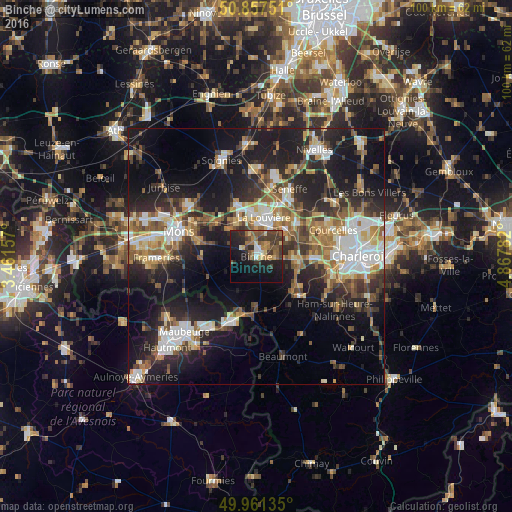
Analysis of Binche night lights 2016
Square area 10x10 km:
 1.12%
1.12%90-99
2.94%80-89
4.06%70-79
3.78%60-69
6.02%50-59
7.56%40-49
4.34%30-39
12.32%20-29
11.62%10-19
26.19%0-9
20.03%Square area 50x50 km:
4.66%90-99
5.4%80-89
3.13%70-79
3.74%60-69
4.35%50-59
4.75%40-49
4.74%30-39
5.17%20-29
9.79%10-19
20.56%0-9
33.72%Clear (daylight) street map image can be seen on geolist.org.
Map coordinates:
50° 51' 27" North, 3° 27' 41.7" East
50° 24' 41.6" North, 4° 9' 52.9" East
49° 57' 40.9" North, 4° 52' 4.2" East
Some cities around Binche sort by population:
• La Louvière
8.5 km =5.3 mi,  11°
11°
• Manage
11.4 km =7.1 mi,  26°
26°
• Morlanwelz-Mariemont
7.5 km =4.7 mi,  49°
49°
• Chapelle-lez-Herlaimont
10.7 km =6.6 mi, 51°
• Anderlues
7.6 km =4.7 mi,  93°
93°
• Roeulx
10.9 km =6.8 mi,  339°
339°
• Estinnes-au-Val
4.2 km =2.6 mi,  267°
267°
• Lobbes
9.8 km =6.1 mi,  132°
132°
2801922 (p: 32,030)
Sources (retrieved 2019-11-25):
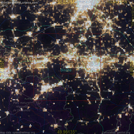
» Earth at Night: Flat Maps 2012, 2016