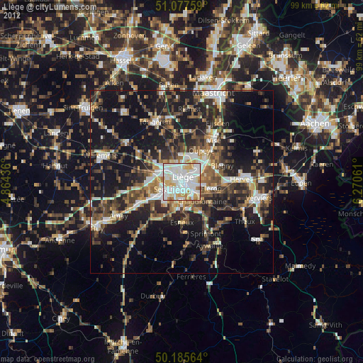
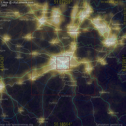
Liège night lights from space
Night Light of Liège (Wallonia) from space (Belgium) Src. Average luminocity for 10x10km area is 94.8249% and for 50x50km: 25.6789%.
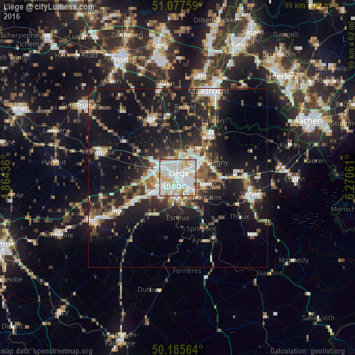

Analysis of Liège night lights 2016
Square area 10x10 km:
 37.43%
90-99
43.85%80-89
9.22%70-79
7.62%60-69
1.07%50-59
0.8%40-49
0%30-39
0%20-29
0%10-19
0%0-9
0%Square area 50x50 km:
4.2%90-99
4.92%80-89
2.03%70-79
2.1%60-69
3.12%50-59
3.86%40-49
3.75%30-39
4.16%20-29
8.39%10-19
21.56%0-9
41.91%Clear (daylight) street map image can be seen on geolist.org.
Map coordinates:
51° 4' 39.3" North, 4° 51' 51.7" East
50° 38' 1.4" North, 5° 34' 3" East
50° 11' 8.3" North, 6° 16' 14.2" East
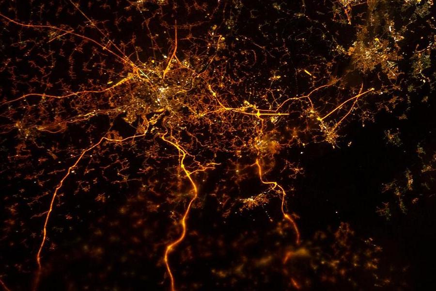
Fantastic image of Liège from space taken by astronauts [src2], but I don't have information about it's orientation, scale or angle. If necessary, it was rotated manually, so North points approximately to upper direction. Click to zoom in:
Some cities around Liège sort by population:
• Seraing
7.3 km =4.5 mi,  220°
220°
• Herstal
5.2 km =3.2 mi,  49°
49°
• Ans
4.6 km =2.9 mi,  313°
313°
• Saint-Nicolas
2.5 km =1.6 mi,  256°
256°
• Chaudfontaine
7.4 km =4.6 mi,  140°
140°
• Fléron
8.2 km =5.1 mi,  104°
104°
• Beyne-Heusay
7 km =4.3 mi, 100°
• Awans
8.3 km =5.2 mi,  297°
297°
2792413 (p: 182,597)
Sources (retrieved 2019-11-25):
» NASA, Earths city lights 1995
» NASA city lights 2003
» Earth at Night: Flat Maps 2012, 2016
Src.2: photographed by an Expedition 34 crew member on December 8, 2012.