Herstal night lights from space
Night Light of Herstal (Wallonia) from space (Belgium) Src. Average luminocity for 10x10km area is 81.488% and for 50x50km: 26.6804%.
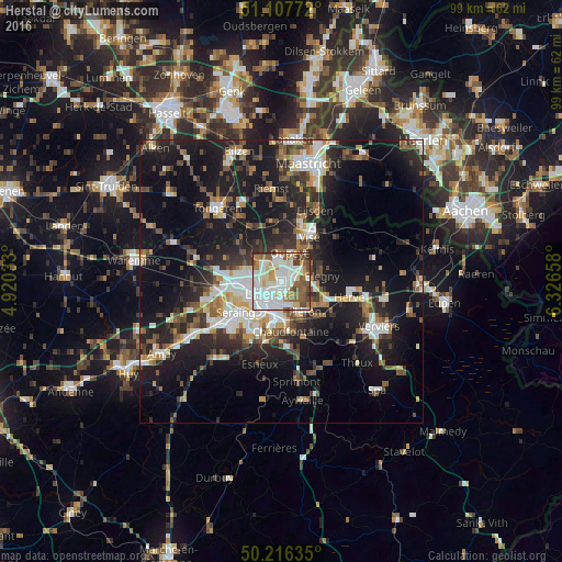
Analysis of Herstal night lights 2016
Square area 10x10 km:
 24.87%
90-99
30.61%80-89
6.28%70-79
5.88%60-69
9.36%50-59
12.7%40-49
6.15%30-39
3.61%20-29
0.53%10-19
0%0-9
0%Square area 50x50 km:
4.35%90-99
5.11%80-89
2.11%70-79
2.2%60-69
3.18%50-59
3.95%40-49
3.92%30-39
4.24%20-29
8.97%10-19
22.43%0-9
39.54%Clear (daylight) street map image can be seen on geolist.org.
Map coordinates:
51° 6' 27.8" North, 4° 55' 13.2" East
50° 39' 50.9" North, 5° 37' 24.5" East
50° 12' 58.9" North, 6° 19' 35.7" East
Some cities around Herstal sort by population:
• Liège
5.2 km =3.2 mi,  229°
229°
• Ans
7.3 km =4.5 mi,  268°
268°
• Oupeye
5.6 km =3.5 mi,  17°
17°
• Saint-Nicolas
7.6 km =4.7 mi,  238°
238°
• Fléron
6.8 km =4.2 mi,  143°
143°
• Blégny
7.2 km =4.5 mi,  82°
82°
• Beyne-Heusay
5.5 km =3.4 mi,  147°
147°
• Juprelle
8.1 km =5 mi,  306°
306°
2795930 (p: 36,503)
Sources (retrieved 2019-11-25):
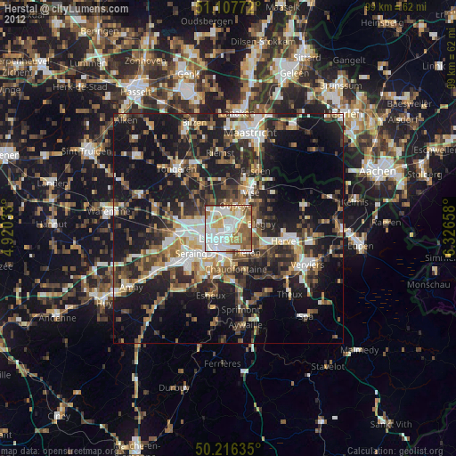
» Earth at Night: Flat Maps 2012, 2016