Saint-Nicolas night lights from space
Night Light of Saint-Nicolas (Wallonia) from space (Belgium) Src. Average luminocity for 10x10km area is 91.5575% and for 50x50km: 25.519%.
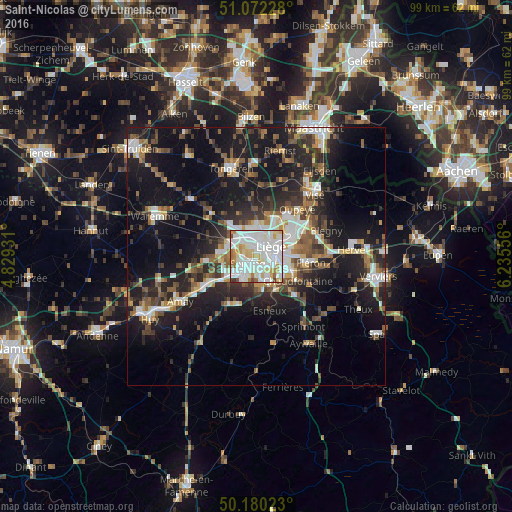
Analysis of Saint-Nicolas night lights 2016
Square area 10x10 km:
 34.89%
90-99
38.64%80-89
9.09%70-79
8.29%60-69
4.68%50-59
1.6%40-49
1.6%30-39
1.2%20-29
0%10-19
0%0-9
0%Square area 50x50 km:
4.18%90-99
4.95%80-89
1.98%70-79
2.09%60-69
3.09%50-59
3.83%40-49
3.76%30-39
4.11%20-29
8.49%10-19
20.72%0-9
42.79%Clear (daylight) street map image can be seen on geolist.org.
Map coordinates:
51° 4' 20.2" North, 4° 49' 45.5" East
50° 37' 42.1" North, 5° 31' 56.7" East
50° 10' 48.8" North, 6° 14' 8" East
Some cities around Saint-Nicolas sort by population:
• Liège
2.5 km =1.6 mi,  76°
76°
• Seraing
5.4 km =3.4 mi,  203°
203°
• Herstal
7.6 km =4.7 mi,  58°
58°
• Ans
3.9 km =2.4 mi,  347°
347°
• Flémalle-Haute
6.9 km =4.3 mi,  242°
242°
• Chaudfontaine
8.8 km =5.5 mi,  125°
125°
• Awans
6.6 km =4.1 mi,  311°
311°
• Juprelle
8.8 km =5.5 mi,  359°
359°
2787356 (p: 22,586)
Sources (retrieved 2019-11-25):
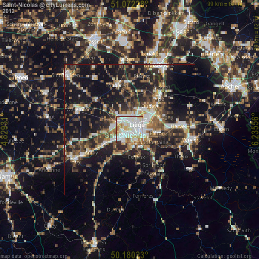
» Earth at Night: Flat Maps 2012, 2016