Chaudfontaine night lights from space
Night Light of Chaudfontaine (Wallonia) from space (Belgium) Src. Average luminocity for 10x10km area is 54.5107% and for 50x50km: 21.7205%.
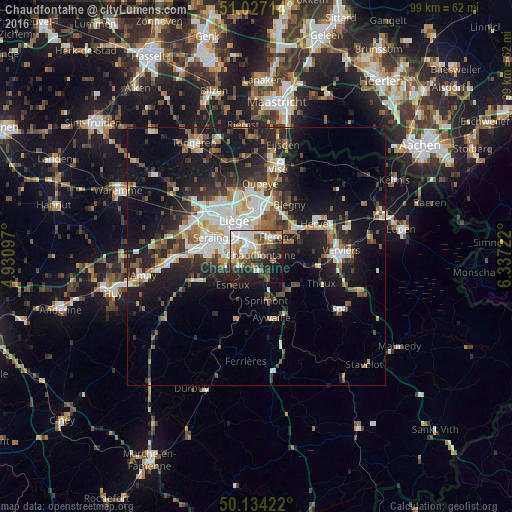
Analysis of Chaudfontaine night lights 2016
Square area 10x10 km:
 11.5%
11.5%90-99
14.3%80-89
6.55%70-79
5.08%60-69
3.61%50-59
7.89%40-49
10.83%30-39
6.42%20-29
14.71%10-19
17.38%0-9
1.74%Square area 50x50 km:
3.72%90-99
4.33%80-89
1.71%70-79
1.89%60-69
2.53%50-59
3.12%40-49
3%30-39
3.46%20-29
7.12%10-19
16.08%0-9
53.05%Clear (daylight) street map image can be seen on geolist.org.
Map coordinates:
51° 1' 37.7" North, 4° 55' 51.5" East
50° 34' 58.1" North, 5° 38' 2.8" East
50° 8' 3.2" North, 6° 20' 14" East
Some cities around Chaudfontaine sort by population:
• Liège
7.4 km =4.6 mi,  320°
320°
• Saint-Nicolas
8.8 km =5.5 mi,  305°
305°
• Fléron
4.9 km =3 mi,  42°
42°
• Soumagne
8.7 km =5.4 mi,  66°
66°
• Esneux
7 km =4.3 mi,  221°
221°
• Sprimont
8.4 km =5.2 mi,  167°
167°
• Beyne-Heusay
4.9 km =3 mi,  26°
26°
• Trooz
4.5 km =2.8 mi,  107°
107°
2800438 (p: 20,960)
Sources (retrieved 2019-11-25):
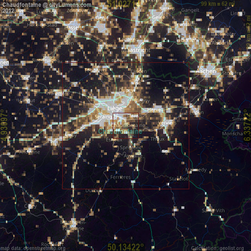
» Earth at Night: Flat Maps 2012, 2016