Tungipāra night lights from space
Night Light of Tungipāra (Dhaka) from space (Bangladesh) Src. Average luminocity for 10x10km area is 1.2163% and for 50x50km: 0.824%.
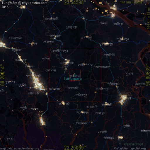
Analysis of Tungipāra night lights 2016
Square area 10x10 km:
 0%
0%90-99
0%80-89
0%70-79
0%60-69
0%50-59
0%40-49
0.79%30-39
1.59%20-29
0.79%10-19
0%0-9
96.83%Square area 50x50 km:
0%90-99
0.03%80-89
0.1%70-79
0.1%60-69
0.14%50-59
0.12%40-49
0.24%30-39
0.27%20-29
0.31%10-19
0.11%0-9
98.57%Clear (daylight) street map image can be seen on geolist.org.
Map coordinates:
23° 32' 45.5" North, 89° 12' 0.5" East
22° 53' 59.4" North, 89° 54' 11.7" East
22° 15' 2.1" North, 90° 36' 23" East
Some cities around Tungipāra sort by population:
• Khulna
36.1 km =22.4 mi,  253°
253°
• Bagerhat
29.4 km =18.3 mi,  203°
203°
• Mādārīpur
43.5 km =27 mi,  46°
46°
• Pirojpur
36.4 km =22.6 mi,  168°
168°
• Gaurnadi
33.8 km =21 mi,  75°
75°
• Kālia
32.1 km =19.9 mi,  299°
299°
• Nālchiti
47.8 km =29.7 mi,  127°
127°
• Phultala
45 km =28 mi,  243°
243°
1185920 (p: 62,210)
Sources (retrieved 2019-11-25):
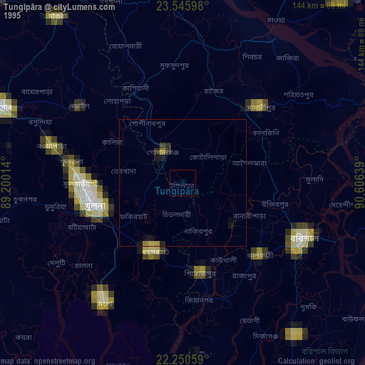
» NASA, Earths city lights 1995
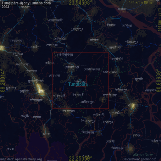
» NASA city lights 2003
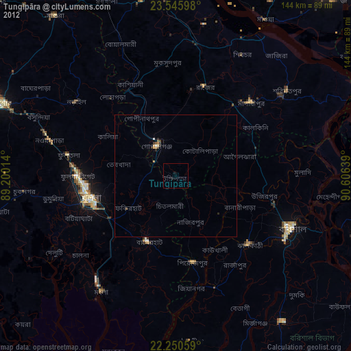
» Earth at Night: Flat Maps 2012, 2016