Khulna night lights from space
Night Light of Khulna from space (Bangladesh) Src. Average luminocity for 10x10km area is 59.7341% and for 50x50km: 5.9246%.
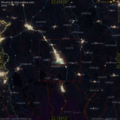
Analysis of Khulna night lights 2016
Square area 10x10 km:
 5.36%
5.36%90-99
14.09%80-89
22.62%70-79
5.36%60-69
4.56%50-59
6.75%40-49
7.94%30-39
5.16%20-29
15.08%10-19
12.5%0-9
0.6%Square area 50x50 km:
0.27%90-99
1.16%80-89
1.31%70-79
0.44%60-69
0.54%50-59
0.56%40-49
0.92%30-39
1.08%20-29
1.83%10-19
4.48%0-9
87.42%Clear (daylight) street map image can be seen on geolist.org.
Map coordinates:
23° 27' 23" North, 88° 51' 40.6" East
22° 48' 35.2" North, 89° 33' 51.8" East
22° 9' 36.4" North, 90° 16' 3.1" East
Some cities around Khulna sort by population:
• Bagerhat
28.8 km =17.9 mi,  126°
126°
• Tungipāra
36.1 km =22.4 mi,  73°
73°
• Narail
39 km =24.2 mi,  349°
349°
• Pirojpur
49.3 km =30.6 mi,  121°
121°
• Bhātpāra Abhaynagar
26.1 km =16.2 mi,  330°
330°
• Kālia
26.8 km =16.7 mi,  14°
14°
• Phultala
11.7 km =7.3 mi,  207°
207°
• Kesabpur
37 km =23 mi,  287°
287°
1336135 (p: 1,342,339)
Sources (retrieved 2019-11-25):
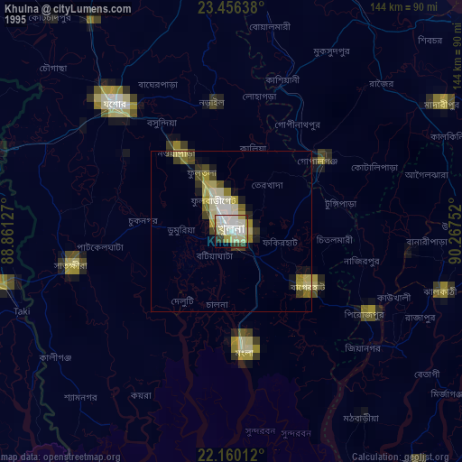
» NASA, Earths city lights 1995
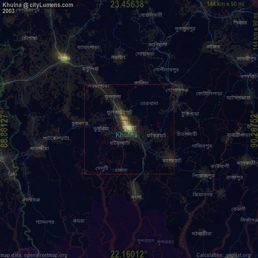
» NASA city lights 2003
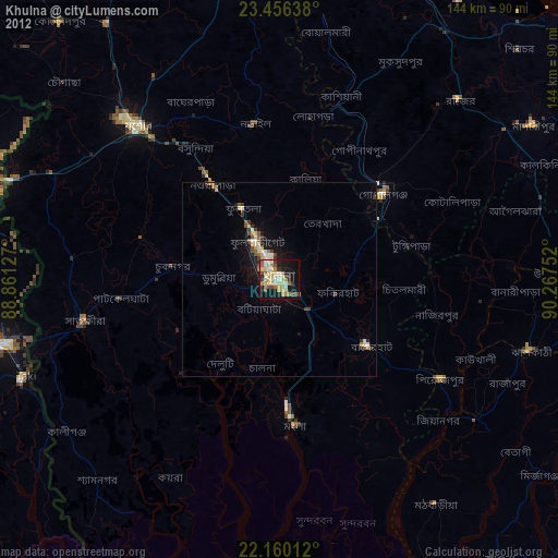
» Earth at Night: Flat Maps 2012, 2016