Pirojpur night lights from space
Night Light of Pirojpur (Barisāl) from space (Bangladesh) Src. Average luminocity for 10x10km area is 2.5625% and for 50x50km: 0.8107%.
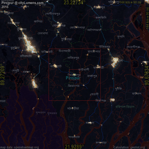
Analysis of Pirojpur night lights 2016
Square area 10x10 km:
 0%
0%90-99
0%80-89
0%70-79
0.76%60-69
0%50-59
1.52%40-49
1.52%30-39
0%20-29
0.57%10-19
0.95%0-9
94.7%Square area 50x50 km:
0%90-99
0.03%80-89
0.19%70-79
0.09%60-69
0.1%50-59
0.2%40-49
0.37%30-39
0.15%20-29
0.18%10-19
0.1%0-9
98.59%Clear (daylight) street map image can be seen on geolist.org.
Map coordinates:
23° 13' 38.4" North, 89° 16' 19.5" East
22° 34' 46.7" North, 89° 58' 30.8" East
21° 55' 44" North, 90° 40' 42" East
Some cities around Pirojpur sort by population:
• Bagerhat
20.7 km =12.9 mi,  294°
294°
• Barisāl
42.9 km =26.7 mi,  71°
71°
• Tungipāra
36.4 km =22.6 mi,  348°
348°
• Nālchiti
31.1 km =19.3 mi,  78°
78°
• Sarankhola
35.4 km =22 mi,  212°
212°
• Morrelgonj
18.4 km =11.4 mi,  221°
221°
• Bhāndāria
13.5 km =8.4 mi,  138°
138°
• Mathba
32.7 km =20.3 mi,  182°
182°
1185138 (p: 54,418)
Sources (retrieved 2019-11-25):
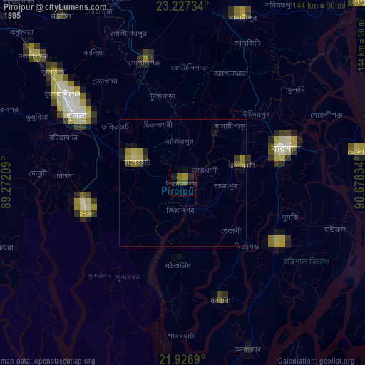
» NASA, Earths city lights 1995
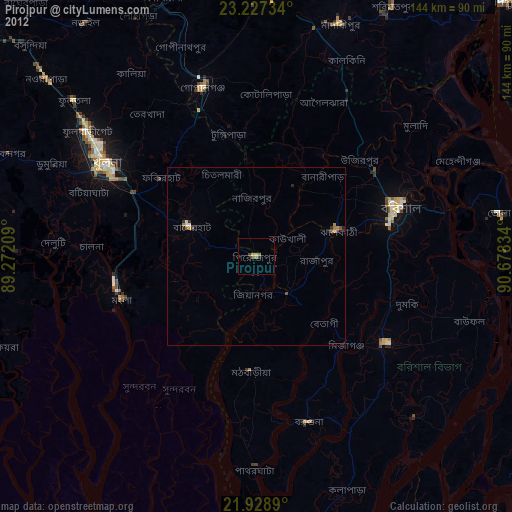
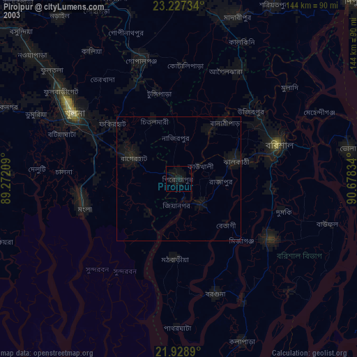
» NASA city lights 2003
» Earth at Night: Flat Maps 2012, 2016