Gaurnadi night lights from space
Night Light of Gaurnadi (Barisāl) from space (Bangladesh) Src. Average luminocity for 10x10km area is 0.4286% and for 50x50km: 0.6923%.
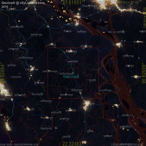
Analysis of Gaurnadi night lights 2016
Square area 10x10 km:
 0%
0%90-99
0%80-89
0%70-79
0%60-69
0%50-59
0%40-49
0%30-39
0%20-29
1.59%10-19
0%0-9
98.41%Square area 50x50 km:
0%90-99
0%80-89
0.06%70-79
0.05%60-69
0.19%50-59
0.04%40-49
0.11%30-39
0.28%20-29
0.58%10-19
0.23%0-9
98.45%Clear (daylight) street map image can be seen on geolist.org.
Map coordinates:
23° 37' 10.2" North, 89° 31' 14.3" East
22° 58' 25.4" North, 90° 13' 25.5" East
22° 19' 29.4" North, 90° 55' 36.8" East
Some cities around Gaurnadi sort by population:
• Barisāl
33.4 km =20.8 mi,  153°
153°
• Mādārīpur
22 km =13.7 mi,  356°
356°
• Pālang
30.1 km =18.7 mi,  25°
25°
• Tungipāra
33.8 km =21 mi,  255°
255°
• Pirojpur
50.7 km =31.5 mi,  210°
210°
• Mehendiganj
35.5 km =22.1 mi,  118°
118°
• Nālchiti
37.8 km =23.5 mi,  172°
172°
• Char Bhadrāsan
37.3 km =23.2 mi,  0°
0°
1185210 (p: 40,519)
Sources (retrieved 2019-11-25):
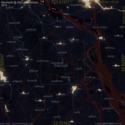
» Earth at Night: Flat Maps 2012, 2016