Kālia night lights from space
Night Light of Kālia (Khulna) from space (Bangladesh) Src. Average luminocity for 10x10km area is 0% and for 50x50km: 4.3954%.
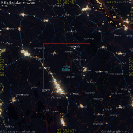
Analysis of Kālia night lights 2016
Square area 10x10 km:
 0%
0%90-99
0%80-89
0%70-79
0%60-69
0%50-59
0%40-49
0%30-39
0%20-29
0%10-19
0%0-9
100%Square area 50x50 km:
0.17%90-99
0.85%80-89
0.81%70-79
0.37%60-69
0.46%50-59
0.41%40-49
0.79%30-39
0.97%20-29
1.45%10-19
2.67%0-9
91.04%Clear (daylight) street map image can be seen on geolist.org.
Map coordinates:
23° 41' 18.5" North, 88° 55' 40.2" East
23° 2' 34.8" North, 89° 37' 51.4" East
22° 23' 39.9" North, 90° 20' 2.7" East
Some cities around Kālia sort by population:
• Khulna
26.8 km =16.7 mi,  194°
194°
• Bagerhat
46 km =28.6 mi,  159°
159°
• Jessore
44.9 km =27.9 mi,  288°
288°
• Tungipāra
32.1 km =19.9 mi,  119°
119°
• Narail
18.7 km =11.6 mi,  311°
311°
• Bhātpāra Abhaynagar
19.9 km =12.4 mi,  260°
260°
• Phultala
38.3 km =23.8 mi,  198°
198°
• Kesabpur
44.7 km =27.8 mi,  250°
250°
1185272 (p: 40,492)
Sources (retrieved 2019-11-25):
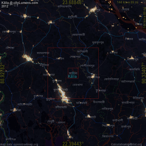
» Earth at Night: Flat Maps 2012, 2016