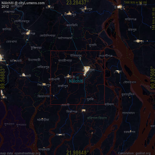
Nālchiti night lights from space
Night Light of Nālchiti (Barisāl) from space (Bangladesh) Src. Average luminocity for 10x10km area is 2.3194% and for 50x50km: 2.4413%.
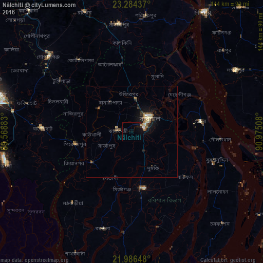
Analysis of Nālchiti night lights 2016
Square area 10x10 km:
 0%
0%90-99
0%80-89
0.4%70-79
0%60-69
0%50-59
0%40-49
0%30-39
0.2%20-29
0.6%10-19
4.37%0-9
94.44%Square area 50x50 km:
0.16%90-99
0.25%80-89
0.51%70-79
0.14%60-69
0.33%50-59
0.3%40-49
0.47%30-39
0.43%20-29
0.66%10-19
2.08%0-9
94.67%Clear (daylight) street map image can be seen on geolist.org.
Map coordinates:
23° 17' 3.7" North, 89° 34' 7.8" East
22° 38' 13.1" North, 90° 16' 19" East
21° 59' 11.3" North, 90° 58' 30.3" East
Some cities around Nālchiti sort by population:
• Barisāl
12.6 km =7.8 mi,  53°
53°
• Bhola
38.6 km =24 mi,  81°
81°
• Tungipāra
47.8 km =29.7 mi,  307°
307°
• Pirojpur
31.1 km =19.3 mi,  258°
258°
• Gaurnadi
37.8 km =23.5 mi,  352°
352°
• Mehendiganj
33.4 km =20.8 mi, 51°
• Morrelgonj
47.2 km =29.3 mi,  244°
244°
• Bhāndāria
27.1 km =16.8 mi,  232°
232°
1185156 (p: 38,703)
Sources (retrieved 2019-11-25):
» Earth at Night: Flat Maps 2012, 2016