Thākurgaon night lights from space
Night Light of Thākurgaon (Rangpur Division) from space (Bangladesh) Src. Average luminocity for 10x10km area is 22.0099% and for 50x50km: 1.7207%.
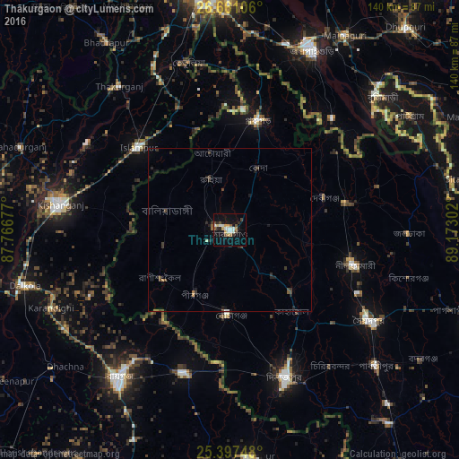

Analysis of Thākurgaon night lights 2016
Square area 10x10 km:
 3.17%
3.17%90-99
4.76%80-89
1.79%70-79
3.77%60-69
1.59%50-59
0.2%40-49
4.76%30-39
0.79%20-29
3.97%10-19
16.67%0-9
58.53%Square area 50x50 km:
0.15%90-99
0.19%80-89
0.1%70-79
0.2%60-69
0.12%50-59
0.16%40-49
0.49%30-39
0.4%20-29
0.55%10-19
1.03%0-9
96.6%Clear (daylight) street map image can be seen on geolist.org.
Map coordinates:
26° 39' 39.8" North, 87° 46' 0.4" East
26° 1' 51.5" North, 88° 28' 11.6" East
25° 23' 50.9" North, 89° 10' 22.9" East
Some cities around Thākurgaon sort by population:
• Dinājpur
47.9 km =29.8 mi,  159°
159°
• Saidpur
50.7 km =31.5 mi,  123°
123°
• Kishanganj, IN
52 km =32.3 mi,  278°
278°
• Islāmpur, IN
38.2 km =23.7 mi,  312°
312°
• Kāliyāganj, IN
46.4 km =28.8 mi,  198°
198°
• Panchagarh
34.7 km =21.6 mi,  14°
14°
• Pīrgaaj
22.4 km =13.9 mi,  209°
209°
• Haldībāri, IN
46.3 km =28.8 mi,  42°
42°
1185092 (p: 71,096)
Sources (retrieved 2019-11-25):
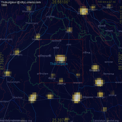
» NASA, Earths city lights 1995
» NASA city lights 2003
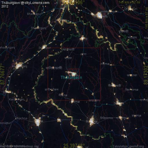
» Earth at Night: Flat Maps 2012, 2016