Badarganj night lights from space
Night Light of Badarganj (Rangpur Division) from space (Bangladesh) Src. Average luminocity for 10x10km area is 2.089% and for 50x50km: 5.6656%.
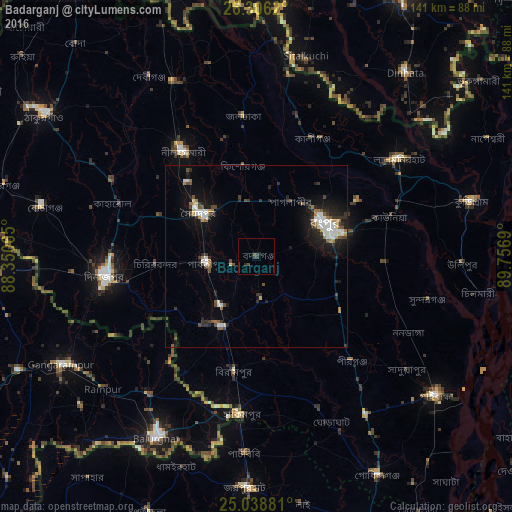
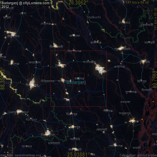
Analysis of Badarganj night lights 2016
Square area 10x10 km:
 0%
0%90-99
0%80-89
0%70-79
0%60-69
0%50-59
0.76%40-49
1.14%30-39
1.7%20-29
0.95%10-19
0.38%0-9
95.08%Square area 50x50 km:
0.82%90-99
1.14%80-89
0.24%70-79
0.26%60-69
0.75%50-59
0.68%40-49
0.84%30-39
1.1%20-29
1.58%10-19
3.94%0-9
88.64%Clear (daylight) street map image can be seen on geolist.org.
Map coordinates:
26° 18' 22.3" North, 88° 21' 2.3" East
25° 40' 27.1" North, 89° 3' 13.6" East
25° 2' 19.7" North, 89° 45' 24.8" East
Some cities around Badarganj sort by population:
• Rangpur
21.4 km =13.3 mi,  67°
67°
• Dinājpur
42 km =26.1 mi,  262°
262°
• Saidpur
19.9 km =12.4 mi,  305°
305°
• Bālurghāt, IN
57.5 km =35.7 mi,  208°
208°
• Gangārāmpur, IN
60.7 km =37.7 mi,  240°
240°
• Lalmonirhat
47.7 km =29.6 mi,  55°
55°
• Chilmāri
63.3 km =39.3 mi,  101°
101°
• Parbatipur
12.4 km =7.7 mi, 264°
1185283 (p: 32,600)
Sources (retrieved 2019-11-25):
» Earth at Night: Flat Maps 2012, 2016