Narail night lights from space
Night Light of Narail (Khulna) from space (Bangladesh) Src. Average luminocity for 10x10km area is 4.0909% and for 50x50km: 1.7006%.
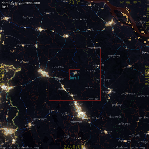
Analysis of Narail night lights 2016
Square area 10x10 km:
 0%
0%90-99
0%80-89
0%70-79
0.76%60-69
0%50-59
1.14%40-49
3.6%30-39
2.08%20-29
0.76%10-19
0%0-9
91.67%Square area 50x50 km:
0.04%90-99
0.18%80-89
0.06%70-79
0.13%60-69
0.16%50-59
0.3%40-49
0.51%30-39
0.57%20-29
0.53%10-19
0.86%0-9
96.66%Clear (daylight) street map image can be seen on geolist.org.
Map coordinates:
23° 48' 0" North, 88° 47' 31.3" East
23° 9' 18.3" North, 89° 29' 42.5" East
22° 30' 25.4" North, 90° 11' 53.8" East
Some cities around Narail sort by population:
• Khulna
39 km =24.2 mi,  169°
169°
• Jessore
28.8 km =17.9 mi,  273°
273°
• Kālīganj
46.2 km =28.7 mi,  307°
307°
• Bhātpāra Abhaynagar
16.6 km =10.3 mi,  200°
200°
• Jhingergācha
41.6 km =25.8 mi,  263°
263°
• Kālia
18.7 km =11.6 mi,  131°
131°
• Phultala
48.8 km =30.3 mi,  177°
177°
• Kesabpur
39.4 km =24.5 mi,  225°
225°
1185293 (p: 55,112)
Sources (retrieved 2019-11-25):
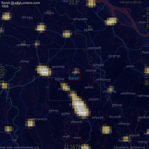
» NASA, Earths city lights 1995
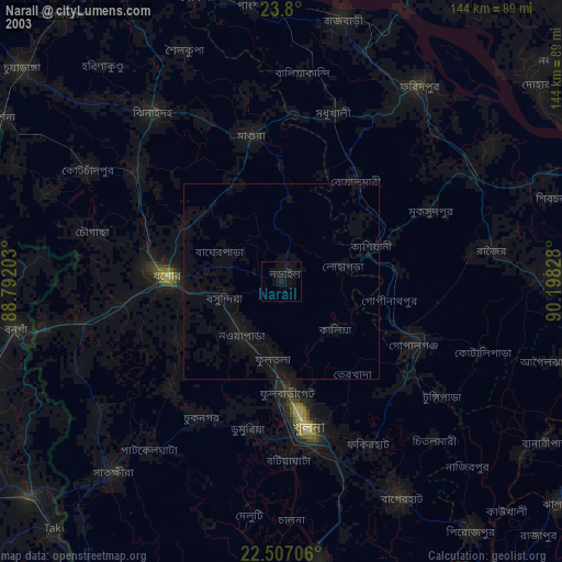
» NASA city lights 2003
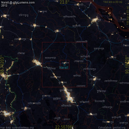
» Earth at Night: Flat Maps 2012, 2016