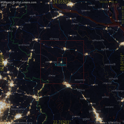
Kālīganj night lights from space
Night Light of Kālīganj (Khulna) from space (Bangladesh) Src. Average luminocity for 10x10km area is 5.7481% and for 50x50km: 3.0839%.
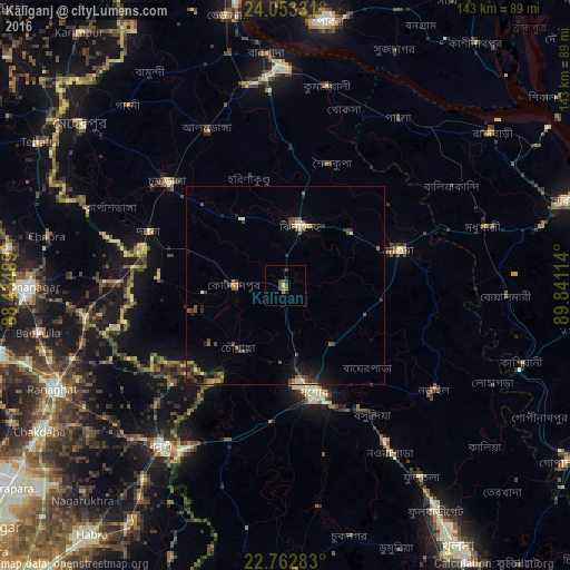
Analysis of Kālīganj night lights 2016
Square area 10x10 km:
 0%
0%90-99
0.57%80-89
0.19%70-79
0.76%60-69
1.52%50-59
0%40-49
3.6%30-39
2.08%20-29
1.14%10-19
0.19%0-9
89.96%Square area 50x50 km:
0.09%90-99
0.25%80-89
0.31%70-79
0.15%60-69
0.46%50-59
0.58%40-49
1.14%30-39
0.77%20-29
0.85%10-19
1.8%0-9
93.59%Clear (daylight) street map image can be seen on geolist.org.
Map coordinates:
24° 3' 11.9" North, 88° 26' 5.6" East
23° 24' 34.7" North, 89° 8' 16.8" East
22° 45' 46.2" North, 89° 50' 28.1" East
Some cities around Kālīganj sort by population:
• Jessore
27.8 km =17.3 mi,  163°
163°
• Kushtia
54.9 km =34.1 mi,  358°
358°
• Bangaon, IN
51.2 km =31.8 mi,  217°
217°
• Narail
46.2 km =28.7 mi,  127°
127°
• Bhātpāra Abhaynagar
53.6 km =33.3 mi,  144°
144°
• Jhingergācha
33.5 km =20.8 mi,  188°
188°
• Kesabpur
56.5 km =35.1 mi,  171°
171°
• Bagulā, IN
51.4 km =31.9 mi,  260°
260°
1185199 (p: 45,631)
Sources (retrieved 2019-11-25):
» Earth at Night: Flat Maps 2012, 2016