Barisāl night lights from space
Night Light of Barisāl from space (Bangladesh) Src. Average luminocity for 10x10km area is 36.6329% and for 50x50km: 2.4225%.
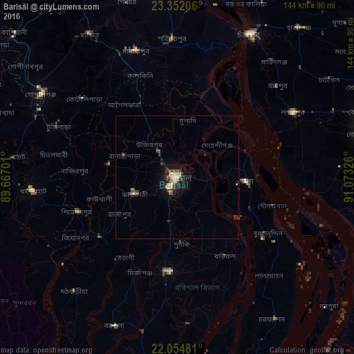
Analysis of Barisāl night lights 2016
Square area 10x10 km:
 3.17%
3.17%90-99
5.56%80-89
11.31%70-79
2.98%60-69
4.17%50-59
3.97%40-49
4.96%30-39
5.95%20-29
7.94%10-19
28.57%0-9
21.43%Square area 50x50 km:
0.16%90-99
0.25%80-89
0.55%70-79
0.12%60-69
0.29%50-59
0.3%40-49
0.42%30-39
0.43%20-29
0.72%10-19
2.05%0-9
94.71%Clear (daylight) street map image can be seen on geolist.org.
Map coordinates:
23° 21' 7.4" North, 89° 40' 1.2" East
22° 42' 17.9" North, 90° 22' 12.5" East
22° 3' 17.3" North, 91° 4' 23.7" East
Some cities around Barisāl sort by population:
• Bhola
28.2 km =17.5 mi,  93°
93°
• Tungipāra
52.5 km =32.6 mi,  294°
294°
• Pirojpur
42.9 km =26.7 mi,  251°
251°
• Burhānuddin
43.2 km =26.8 mi,  122°
122°
• Gaurnadi
33.4 km =20.8 mi,  333°
333°
• Mehendiganj
20.9 km =13 mi,  51°
51°
• Nālchiti
12.6 km =7.8 mi,  233°
233°
• Bhāndāria
39.7 km =24.7 mi, 232°
1336137 (p: 202,242)
Sources (retrieved 2019-11-25):
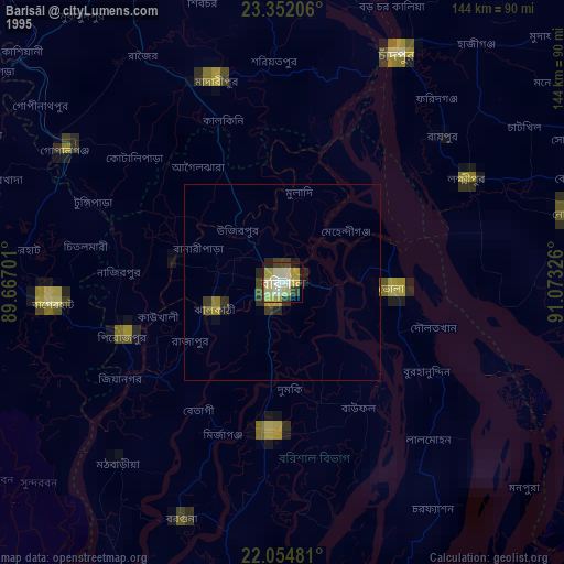
» NASA, Earths city lights 1995
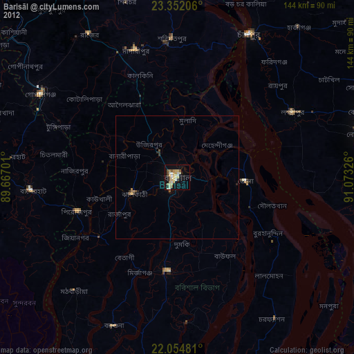
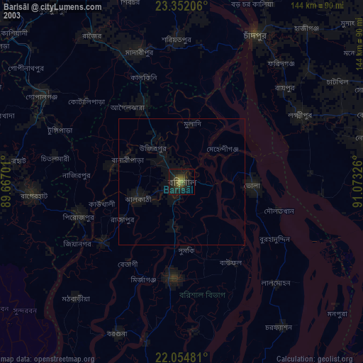
» NASA city lights 2003
» Earth at Night: Flat Maps 2012, 2016