Pālang night lights from space
Night Light of Pālang (Dhaka) from space (Bangladesh) Src. Average luminocity for 10x10km area is 3.7121% and for 50x50km: 1.5826%.
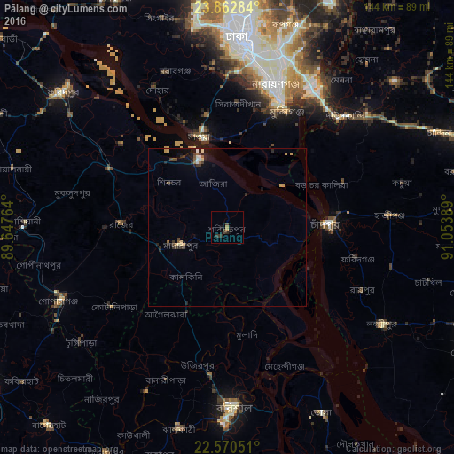
Analysis of Pālang night lights 2016
Square area 10x10 km:
 0%
0%90-99
0%80-89
0%70-79
0.76%60-69
0.76%50-59
0%40-49
1.52%30-39
1.52%20-29
2.27%10-19
3.6%0-9
89.58%Square area 50x50 km:
0.08%90-99
0.16%80-89
0.22%70-79
0.2%60-69
0.17%50-59
0.13%40-49
0.27%30-39
0.42%20-29
0.59%10-19
1.17%0-9
96.6%Clear (daylight) street map image can be seen on geolist.org.
Map coordinates:
23° 51' 46.2" North, 89° 38' 51.5" East
23° 13' 5.7" North, 90° 21' 2.7" East
22° 34' 13.8" North, 91° 3' 14" East
Some cities around Pālang sort by population:
• Nārāyanganj
46.6 km =29 mi,  19°
19°
• Mādārīpur
15.4 km =9.6 mi,  250°
250°
• Rāipur
47.1 km =29.3 mi,  115°
115°
• Dohār
46.8 km =29.1 mi,  332°
332°
• Hājīganj
51.7 km =32.1 mi,  85°
85°
• Gaurnadi
30.1 km =18.7 mi,  205°
205°
• Mehendiganj
47.6 km =29.6 mi,  157°
157°
• Char Bhadrāsan
16.2 km =10.1 mi,  308°
308°
1191368 (p: 67,652)
Sources (retrieved 2019-11-25):
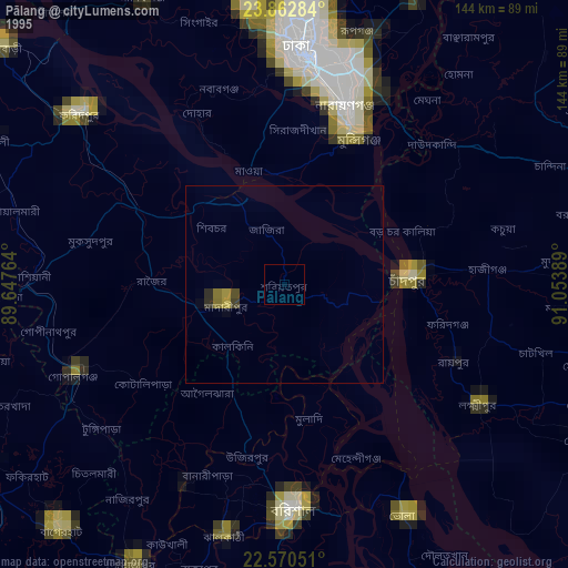
» NASA, Earths city lights 1995
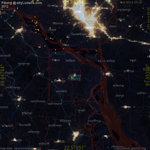
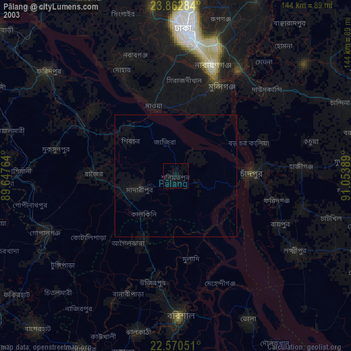
» NASA city lights 2003
» Earth at Night: Flat Maps 2012, 2016