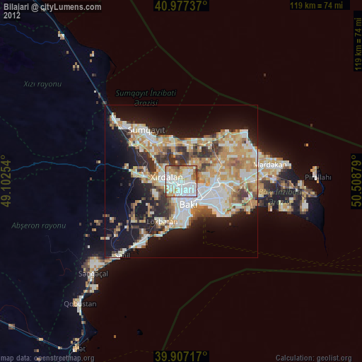
Bilajari night lights from space
Night Light of Bilajari (Baki) from space (Azerbaijan) Src. Average luminocity for 10x10km area is 85.8639% and for 50x50km: 36.4038%.
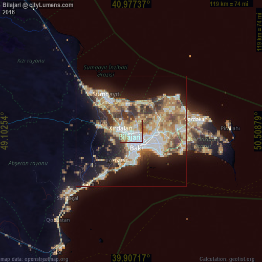
Analysis of Bilajari night lights 2016
Square area 10x10 km:
 34.01%
90-99
19.73%80-89
13.44%70-79
14.46%60-69
11.22%50-59
3.74%40-49
2.55%30-39
0.85%20-29
0%10-19
0%0-9
0%Square area 50x50 km:
6.23%90-99
7.02%80-89
5.44%70-79
5.42%60-69
6.31%50-59
4.97%40-49
4.05%30-39
5.04%20-29
6.88%10-19
14.5%0-9
34.14%Clear (daylight) street map image can be seen on geolist.org.
Map coordinates:
40° 58' 38.5" North, 49° 6' 9.1" East
40° 26' 39.8" North, 49° 48' 20.4" East
39° 54' 25.8" North, 50° 30' 31.6" East
Some cities around Bilajari sort by population:
• Baku
10.4 km =6.5 mi,  135°
135°
• Khirdalan
4.3 km =2.7 mi,  275°
275°
• Zabrat
12.1 km =7.5 mi,  72°
72°
• Binagadi
3 km =1.9 mi,  37°
37°
• Badamdar
11.6 km =7.2 mi,  180°
180°
• Balakhani
9.8 km =6.1 mi,  77°
77°
• Qobu
9 km =5.6 mi,  240°
240°
• Khodzhi-Gasan
4.7 km =2.9 mi,  221°
221°
587078 (p: 42,194)
Sources (retrieved 2019-11-25):
» Earth at Night: Flat Maps 2012, 2016