Zabrat night lights from space
Night Light of Zabrat (Baki) from space (Azerbaijan) Src. Average luminocity for 10x10km area is 76.2891% and for 50x50km: 36.8094%.
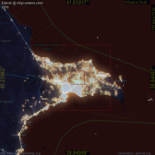
Analysis of Zabrat night lights 2016
Square area 10x10 km:
 7.65%
7.65%90-99
16.5%80-89
21.6%70-79
19.39%60-69
19.56%50-59
8.16%40-49
5.1%30-39
2.04%20-29
0%10-19
0%0-9
0%Square area 50x50 km:
6.29%90-99
7.06%80-89
5.79%70-79
5.53%60-69
6.54%50-59
4.87%40-49
4.59%30-39
5.43%20-29
7.16%10-19
11.73%0-9
35.02%Clear (daylight) street map image can be seen on geolist.org.
Map coordinates:
41° 0' 36.6" North, 49° 14' 19" East
40° 28' 38.9" North, 49° 56' 30.3" East
39° 56' 25.8" North, 50° 38' 41.5" East
Some cities around Zabrat sort by population:
• Qaraçuxur
9.4 km =5.8 mi,  163°
163°
• Bakıxanov
6.8 km =4.2 mi, 161°
• Maştağa
8 km =5 mi,  43°
43°
• Amirdzhan
6.7 km =4.2 mi,  148°
148°
• Sabunçu
3.9 km =2.4 mi,  172°
172°
• Yeni Suraxanı
9.5 km =5.9 mi,  123°
123°
• Balakhani
2.5 km =1.6 mi,  231°
231°
• Ramana
5.1 km =3.2 mi,  140°
140°
584614 (p: 21,396)
Sources (retrieved 2019-11-25):
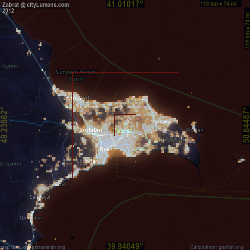
» Earth at Night: Flat Maps 2012, 2016