Khirdalan night lights from space
Night Light of Khirdalan (Abşeron) from space (Azerbaijan) Src. Average luminocity for 10x10km area is 75.7126% and for 50x50km: 33.1773%.
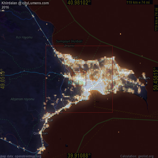
Analysis of Khirdalan night lights 2016
Square area 10x10 km:
 15.31%
90-99
20.07%80-89
17.18%70-79
14.29%60-69
11.56%50-59
3.23%40-49
7.99%30-39
8.5%20-29
1.87%10-19
0%0-9
0%Square area 50x50 km:
5.8%90-99
6.24%80-89
4.8%70-79
4.88%60-69
5.59%50-59
4.2%40-49
3.78%30-39
4.91%20-29
6.63%10-19
14.3%0-9
38.87%Clear (daylight) street map image can be seen on geolist.org.
Map coordinates:
40° 58' 51.7" North, 49° 3' 6.8" East
40° 26' 53.1" North, 49° 45' 18.1" East
39° 54' 39.2" North, 50° 27' 29.3" East
Some cities around Khirdalan sort by population:
• Bilajari
4.3 km =2.7 mi,  95°
95°
• Lökbatan
13.7 km =8.5 mi,  187°
187°
• Binagadi
6.5 km =4 mi,  72°
72°
• Badamdar
12.7 km =7.9 mi,  160°
160°
• Saray
10 km =6.2 mi,  341°
341°
• Qobu
6 km =3.7 mi,  216°
216°
• Ceyranbatan
13.1 km =8.1 mi,  322°
322°
• Khodzhi-Gasan
4.1 km =2.5 mi, 163°
585915 (p: 37,949)
Sources (retrieved 2019-11-25):
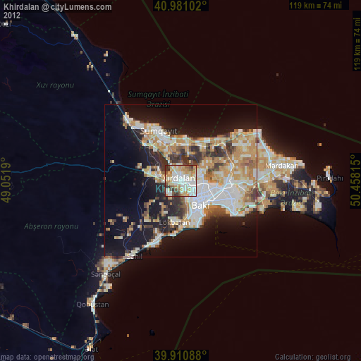
» Earth at Night: Flat Maps 2012, 2016