Surry Hills night lights from space
Night Light of Surry Hills (New South Wales) from space (Australia) Src. Average luminocity for 10x10km area is 90.6469% and for 50x50km: 40.6264%.
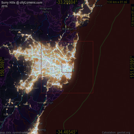
Analysis of Surry Hills night lights 2016
Square area 10x10 km:
 48.6%
48.6%90-99
25.17%80-89
3.32%70-79
9.97%60-69
5.77%50-59
2.8%40-49
3.5%30-39
0.87%20-29
0%10-19
0%0-9
0%Square area 50x50 km:
9.64%90-99
10.3%80-89
5.01%70-79
6.58%60-69
7.72%50-59
3.6%40-49
2.46%30-39
3.32%20-29
4.76%10-19
8.01%0-9
38.58%Clear (daylight) street map image can be seen on geolist.org.
Map coordinates:
33° 17' 52.9" South, 150° 30' 34.9" East
33° 53' 1.5" South, 151° 12' 46.2" East
34° 27' 55.6" South, 151° 54' 57.4" East
Some cities around Surry Hills sort by population:
• Sydney
1.8 km =1.1 mi,  343°
343°
• Redfern
1.3 km =0.8 mi,  218°
218°
• Paddington
1.7 km =1.1 mi,  91°
91°
• Darlinghurst
0.8 km =0.5 mi,  50°
50°
• Haymarket
0.9 km =0.6 mi,  308°
308°
• Chippendale
1.5 km =0.9 mi,  256°
256°
• Ultimo
1.6 km =1 mi,  296°
296°
• Elizabeth Bay
1.9 km =1.2 mi,  44°
44°
2147821 (p: 16,492)
Sources (retrieved 2019-11-25):
» Earth at Night: Flat Maps 2012, 2016