Wantirna night lights from space
Night Light of Wantirna (Victoria) from space (Australia) Src. Average luminocity for 10x10km area is 76.3101% and for 50x50km: 44.172%.
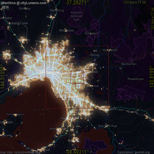
Analysis of Wantirna night lights 2016
Square area 10x10 km:
 15.75%
90-99
14.61%80-89
7.31%70-79
12.99%60-69
36.85%50-59
12.34%40-49
0.16%30-39
0%20-29
0%10-19
0%0-9
0%Square area 50x50 km:
10.47%90-99
10.06%80-89
5.39%70-79
8.19%60-69
7.58%50-59
5.75%40-49
3.76%30-39
3%20-29
4.31%10-19
7.5%0-9
33.99%Clear (daylight) street map image can be seen on geolist.org.
Map coordinates:
37° 17' 33.8" South, 144° 30' 48.8" East
37° 51' 0" South, 145° 13' 0" East
38° 24' 11.2" South, 145° 55' 11.3" East
Some cities around Wantirna sort by population:
• Ringwood
4 km =2.5 mi,  21°
21°
• Mitcham
4 km =2.5 mi,  338°
338°
• Bayswater
4.4 km =2.7 mi,  90°
90°
• Vermont South
3.1 km =1.9 mi,  254°
254°
• Forest Hill
3.5 km =2.2 mi,  302°
302°
• Ringwood East
4.7 km =2.9 mi,  38°
38°
• Vermont
2.5 km =1.6 mi,  308°
308°
• Heathmont
3.5 km =2.2 mi,  57°
57°
2144729 (p: 13,995)
Sources (retrieved 2019-11-25):
» Earth at Night: Flat Maps 2012, 2016