Somerville night lights from space
Night Light of Somerville (Victoria) from space (Australia) Src. Average luminocity for 10x10km area is 23.4541% and for 50x50km: 16.3283%.
Analysis of Somerville night lights 2016
Square area 10x10 km:
 0.51%
0.51%90-99
0.17%80-89
1.36%70-79
4.93%60-69
1.7%50-59
3.91%40-49
5.78%30-39
7.31%20-29
11.9%10-19
43.03%0-9
19.39%Square area 50x50 km:
2.15%90-99
2.38%80-89
1.25%70-79
2.62%60-69
2.93%50-59
3.28%40-49
2.74%30-39
2.8%20-29
3.86%10-19
9.06%0-9
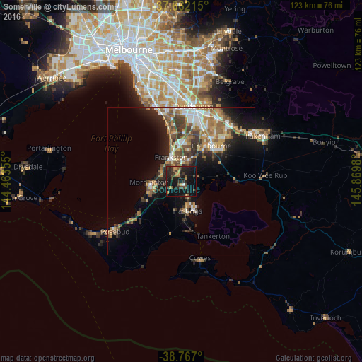
66.92%Clear (daylight) street map image can be seen on geolist.org.
Map coordinates:
37° 39' 43.7" South, 144° 27' 48.8" East
38° 13' 0" South, 145° 10' 0" East
38° 46' 1.2" South, 145° 52' 11.3" East
Some cities around Somerville sort by population:
• Frankston
8.9 km =5.5 mi,  334°
334°
• Frankston East
9.7 km =6 mi,  342°
342°
• Mornington
11.2 km =7 mi,  269°
269°
• Langwarrin
5.6 km =3.5 mi,  0°
0°
• Frankston South
6.2 km =3.9 mi, 334°
• Mount Eliza
8.2 km =5.1 mi,  296°
296°
• Hastings
9.4 km =5.8 mi,  171°
171°
• Frankston North
10.5 km =6.5 mi,  351°
351°
2149128 (p: 11,062)
Sources (retrieved 2019-11-25):
» Earth at Night: Flat Maps 2012, 2016