Frankston night lights from space
Night Light of Frankston (Victoria) from space (Australia) Src. Average luminocity for 10x10km area is 44.1139% and for 50x50km: 22.7222%.
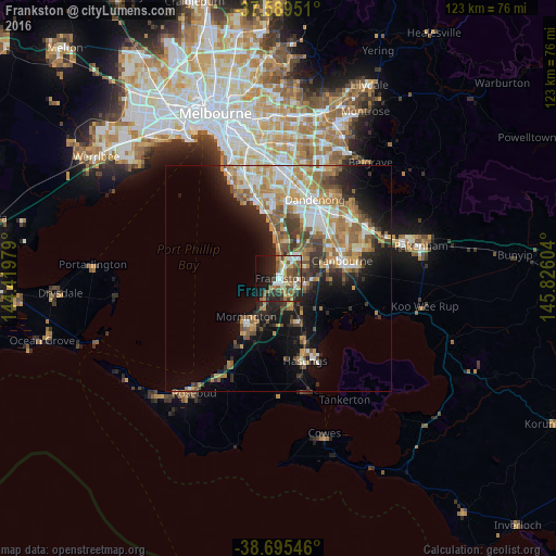
Analysis of Frankston night lights 2016
Square area 10x10 km:
 6.8%
6.8%90-99
5.61%80-89
4.76%70-79
6.29%60-69
5.44%50-59
12.41%40-49
10.2%30-39
6.63%20-29
12.24%10-19
18.54%0-9
11.05%Square area 50x50 km:
3.42%90-99
4.04%80-89
2.01%70-79
4.4%60-69
4.15%50-59
3.84%40-49
3.02%30-39
2.96%20-29
4.67%10-19
9.58%0-9
57.92%Clear (daylight) street map image can be seen on geolist.org.
Map coordinates:
37° 35' 22.2" South, 144° 25' 11.2" East
38° 8' 40.5" South, 145° 7' 22.5" East
38° 41' 43.7" South, 145° 49' 33.7" East
Some cities around Frankston sort by population:
• Langwarrin
4.5 km =2.8 mi,  122°
122°
• Carrum Downs
6.6 km =4.1 mi,  40°
40°
• Mount Eliza
5.5 km =3.4 mi,  218°
218°
• Seaford
5 km =3.1 mi,  10°
10°
• Somerville
8.9 km =5.5 mi,  154°
154°
• Skye
9.3 km =5.8 mi,  61°
61°
• Patterson Lakes
8.6 km =5.3 mi, 12°
• Bonbeach
8.8 km =5.5 mi,  359°
359°
2166144 (p: 36,239)
Sources (retrieved 2019-11-25):
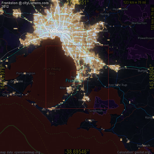
» Earth at Night: Flat Maps 2012, 2016