Shepparton night lights from space
Night Light of Shepparton (Victoria) from space (Australia) Src. Average luminocity for 10x10km area is 35.5752% and for 50x50km: 1.9182%.
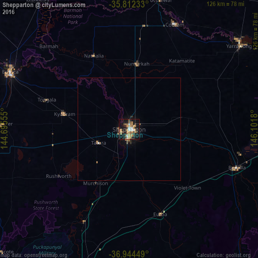
Analysis of Shepparton night lights 2016
Square area 10x10 km:
 4.2%
4.2%90-99
2.8%80-89
2.27%70-79
12.06%60-69
6.12%50-59
6.64%40-49
3.67%30-39
2.27%20-29
8.04%10-19
37.94%0-9
13.99%Square area 50x50 km:
0.19%90-99
0.12%80-89
0.09%70-79
0.59%60-69
0.28%50-59
0.4%40-49
0.17%30-39
0.21%20-29
0.41%10-19
1.71%0-9
95.83%Clear (daylight) street map image can be seen on geolist.org.
Map coordinates:
35° 48' 44.4" South, 144° 41' 44" East
36° 22' 49.7" South, 145° 23' 55.2" East
36° 56' 40.2" South, 146° 6' 6.5" East
Some cities around Shepparton sort by population:
• Echuca
63.8 km =39.6 mi,  294°
294°
• Benalla
55.7 km =34.6 mi,  109°
109°
• Mooroopna
4.9 km =3 mi,  243°
243°
• Yarrawonga
67.2 km =41.8 mi,  53°
53°
• Kyabram
32.1 km =19.9 mi,  283°
283°
• Kialla
7.6 km =4.7 mi,  169°
169°
• Moama
64.9 km =40.3 mi,  298°
298°
• Cobram
55.5 km =34.5 mi,  23°
23°
2149645 (p: 31,148)
Sources (retrieved 2019-11-25):
» Earth at Night: Flat Maps 2012, 2016