Kialla night lights from space
Night Light of Kialla (Victoria) from space (Australia) Src. Average luminocity for 10x10km area is 13.3516% and for 50x50km: 1.9448%.
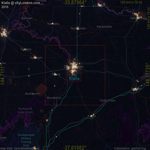
Analysis of Kialla night lights 2016
Square area 10x10 km:
 0.73%
0.73%90-99
0.73%80-89
0.18%70-79
4.76%60-69
1.65%50-59
2.75%40-49
0.92%30-39
2.01%20-29
2.38%10-19
16.48%0-9
67.4%Square area 50x50 km:
0.19%90-99
0.12%80-89
0.09%70-79
0.6%60-69
0.28%50-59
0.4%40-49
0.17%30-39
0.24%20-29
0.41%10-19
1.73%0-9
95.77%Clear (daylight) street map image can be seen on geolist.org.
Map coordinates:
35° 52' 46.7" South, 144° 42' 40" East
36° 26' 50.2" South, 145° 24' 51.2" East
37° 0' 39" South, 146° 7' 2.5" East
Some cities around Kialla sort by population:
• Shepparton
7.6 km =4.7 mi,  349°
349°
• Echuca
68.5 km =42.6 mi,  299°
299°
• Benalla
52.2 km =32.4 mi,  102°
102°
• Mooroopna
7.8 km =4.8 mi,  312°
312°
• Kyabram
35.8 km =22.2 mi,  294°
294°
• Seymour
68.9 km =42.8 mi,  200°
200°
• Moama
69.9 km =43.4 mi, 303°
• Cobram
62 km =38.5 mi,  19°
19°
8348020 (p: 6,608)
Sources (retrieved 2019-11-25):
» Earth at Night: Flat Maps 2012, 2016