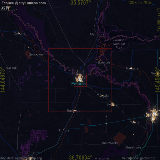
Echuca night lights from space
Night Light of Echuca (Victoria) from space (Australia) Src. Average luminocity for 10x10km area is 20.011% and for 50x50km: 0.9673%.
Analysis of Echuca night lights 2016
Square area 10x10 km:
 1.47%
1.47%90-99
1.47%80-89
0%70-79
8.97%60-69
3.85%50-59
4.76%40-49
0.73%30-39
0.37%20-29
2.93%10-19
9.89%0-9
65.57%Square area 50x50 km:
0.05%90-99
0.05%80-89
0%70-79
0.36%60-69
0.21%50-59
0.21%40-49
0.08%30-39
0.1%20-29
0.18%10-19
0.39%0-9
98.38%Clear (daylight) street map image can be seen on geolist.org.
Map coordinates:
35° 34' 14.5" South, 144° 2' 55.4" East
36° 8' 26.1" South, 144° 45' 6.7" East
36° 42' 22.8" South, 145° 27' 17.9" East
Some cities around Echuca sort by population:
• Shepparton
63.8 km =39.6 mi,  114°
114°
• Deniliquin
70 km =43.5 mi,  15°
15°
• Mooroopna
60.9 km =37.8 mi,  118°
118°
• Kyabram
33 km =20.5 mi,  125°
125°
• Kialla
68.5 km =42.6 mi, 119°
• Moama
4.1 km =2.5 mi,  11°
11°
• Strathdale
79.7 km =49.5 mi,  209°
209°
• Eaglehawk
78.1 km =48.5 mi,  215°
215°
2167817 (p: 13,927)
Sources (retrieved 2019-11-25):
» Earth at Night: Flat Maps 2012, 2016