Benalla night lights from space
Night Light of Benalla (Victoria) from space (Australia) Src. Average luminocity for 10x10km area is 5.8681% and for 50x50km: 0.3324%.
Analysis of Benalla night lights 2016
Square area 10x10 km:
 0%
0%90-99
0.73%80-89
0%70-79
1.47%60-69
0.37%50-59
3.11%40-49
0.92%30-39
1.1%20-29
1.65%10-19
0.18%0-9
90.48%Square area 50x50 km:
0%90-99
0.03%80-89
0%70-79
0.08%60-69
0.01%50-59
0.12%40-49
0.12%30-39
0.1%20-29
0.09%10-19
0.01%0-9
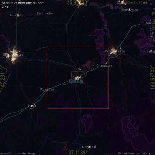
99.44%Clear (daylight) street map image can be seen on geolist.org.
Map coordinates:
35° 59' 3.2" South, 145° 16' 52.1" East
36° 33' 4.1" South, 145° 59' 3.3" East
37° 6' 50" South, 146° 41' 14.6" East
Some cities around Benalla sort by population:
• Shepparton
55.7 km =34.6 mi,  289°
289°
• Wangaratta
36.9 km =22.9 mi,  54°
54°
• Mooroopna
59.1 km =36.7 mi, 286°
• Yarrawonga
59.2 km =36.8 mi,  1°
1°
• Kyabram
87.6 km =54.4 mi, 287°
• Kialla
52.2 km =32.4 mi,  282°
282°
• Cobram
76.6 km =47.6 mi,  336°
336°
• Corowa
71.3 km =44.3 mi,  30°
30°
2176225 (p: 10,072)
Sources (retrieved 2019-11-25):
» Earth at Night: Flat Maps 2012, 2016