Yarrawonga night lights from space
Night Light of Yarrawonga (Victoria) from space (Australia) Src. Average luminocity for 10x10km area is 11.7198% and for 50x50km: 0.4955%.
Analysis of Yarrawonga night lights 2016
Square area 10x10 km:
 0%
0%90-99
0.92%80-89
1.28%70-79
1.47%60-69
3.48%50-59
2.75%40-49
3.66%30-39
1.47%20-29
2.93%10-19
0.55%0-9
81.5%Square area 50x50 km:
0%90-99
0.03%80-89
0.05%70-79
0.06%60-69
0.13%50-59
0.1%40-49
0.15%30-39
0.06%20-29
0.16%10-19
0.02%0-9
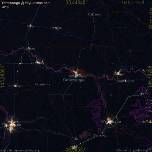
99.23%Clear (daylight) street map image can be seen on geolist.org.
Map coordinates:
35° 26' 54.5" South, 145° 17' 47.8" East
36° 1' 9.2" South, 145° 59' 59" East
36° 35' 9.1" South, 146° 42' 10.3" East
Some cities around Yarrawonga sort by population:
• Shepparton
67.2 km =41.8 mi,  233°
233°
• Wangaratta
47.5 km =29.5 mi,  142°
142°
• West Wodonga
77.5 km =48.2 mi,  98°
98°
• Benalla
59.2 km =36.8 mi,  181°
181°
• Mooroopna
72 km =44.7 mi, 234°
• Kialla
70.9 km =44.1 mi, 227°
• Cobram
34.1 km =21.2 mi,  288°
288°
• Corowa
34.8 km =21.6 mi,  85°
85°
2142447 (p: 7,630)
Sources (retrieved 2019-11-25):
» Earth at Night: Flat Maps 2012, 2016