Kyabram night lights from space
Night Light of Kyabram (Victoria) from space (Australia) Src. Average luminocity for 10x10km area is 3.2902% and for 50x50km: 0.4614%.
Analysis of Kyabram night lights 2016
Square area 10x10 km:
 0%
0%90-99
0%80-89
0%70-79
0.35%60-69
2.45%50-59
0.7%40-49
0%30-39
0.87%20-29
1.22%10-19
0.7%0-9
93.71%Square area 50x50 km:
0.02%90-99
0.01%80-89
0%70-79
0.1%60-69
0.15%50-59
0.11%40-49
0.06%30-39
0.06%20-29
0.16%10-19
0.11%0-9
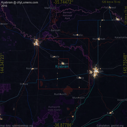
99.23%Clear (daylight) street map image can be seen on geolist.org.
Map coordinates:
35° 44' 41" South, 144° 20' 50" East
36° 18' 48.1" South, 145° 3' 1.3" East
36° 52' 40.3" South, 145° 45' 12.5" East
Some cities around Kyabram sort by population:
• Shepparton
32.1 km =19.9 mi,  103°
103°
• Echuca
33 km =20.5 mi,  305°
305°
• Mooroopna
28.5 km =17.7 mi,  109°
109°
• Kialla
35.8 km =22.2 mi, 114°
• Seymour
79.7 km =49.5 mi,  174°
174°
• Moama
34.9 km =21.7 mi, 311°
• Cobram
68.7 km =42.7 mi,  50°
50°
• Strathdale
82.7 km =51.4 mi,  232°
232°
2160910 (p: 7,099)
Sources (retrieved 2019-11-25):
» Earth at Night: Flat Maps 2012, 2016