Scoresby night lights from space
Night Light of Scoresby (Victoria) from space (Australia) Src. Average luminocity for 10x10km area is 71.3263% and for 50x50km: 44.0563%.
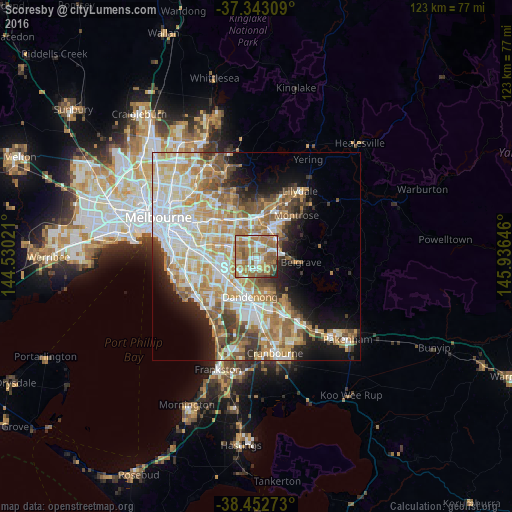
Analysis of Scoresby night lights 2016
Square area 10x10 km:
 12.34%
90-99
11.53%80-89
5.52%70-79
13.31%60-69
31.33%50-59
18.99%40-49
3.9%30-39
0.81%20-29
2.27%10-19
0%0-9
0%Square area 50x50 km:
9.78%90-99
9.77%80-89
5.4%70-79
8.35%60-69
7.71%50-59
6.02%40-49
4.13%30-39
3.27%20-29
4.43%10-19
8.88%0-9
32.27%Clear (daylight) street map image can be seen on geolist.org.
Map coordinates:
37° 20' 35.1" South, 144° 31' 48.8" East
37° 54' 0" South, 145° 13' 60" East
38° 27' 9.8" South, 145° 56' 11.3" East
Some cities around Scoresby sort by population:
• Rowville
3.7 km =2.3 mi,  180°
180°
• Ferntree Gully
5.7 km =3.5 mi,  72°
72°
• Boronia
5.7 km =3.5 mi,  49°
49°
• Wheelers Hill
4.4 km =2.7 mi,  270°
270°
• Wantirna South
2.4 km =1.5 mi,  321°
321°
• Mulgrave
5.9 km =3.7 mi,  237°
237°
• Wantirna
5.7 km =3.5 mi,  345°
345°
• Knoxfield
1.8 km =1.1 mi, 51°
2150093 (p: 5,958)
Sources (retrieved 2019-11-25):
» Earth at Night: Flat Maps 2012, 2016