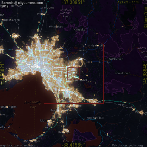
Boronia night lights from space
Night Light of Boronia (Victoria) from space (Australia) Src. Average luminocity for 10x10km area is 60.6315% and for 50x50km: 38.5938%.
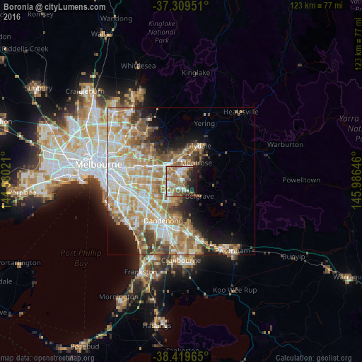
Analysis of Boronia night lights 2016
Square area 10x10 km:
 11.69%
90-99
10.55%80-89
4.71%70-79
8.12%60-69
20.94%50-59
12.34%40-49
6.17%30-39
5.03%20-29
10.39%10-19
9.74%0-9
0.32%Square area 50x50 km:
7.38%90-99
8.64%80-89
4.66%70-79
7.82%60-69
7.7%50-59
5.6%40-49
3.8%30-39
2.92%20-29
3.81%10-19
7.01%0-9
40.66%Clear (daylight) street map image can be seen on geolist.org.
Map coordinates:
37° 18' 34.2" South, 144° 34' 48.8" East
37° 52' 0" South, 145° 16' 60" East
38° 25' 10.7" South, 145° 59' 11.3" East
Some cities around Boronia sort by population:
• Ferntree Gully
2.3 km =1.4 mi,  152°
152°
• Wantirna South
6.1 km =3.8 mi,  252°
252°
• Bayswater
2.4 km =1.5 mi,  321°
321°
• Heathmont
4.7 km =2.9 mi, 321°
• Bayswater North
4.7 km =2.9 mi,  16°
16°
• Knoxfield
3.9 km =2.4 mi,  229°
229°
• Upwey
5.7 km =3.5 mi,  130°
130°
• Scoresby
5.7 km =3.5 mi, 229°
2174580 (p: 21,857)
Sources (retrieved 2019-11-25):
» Earth at Night: Flat Maps 2012, 2016