Bondi night lights from space
Night Light of Bondi (New South Wales) from space (Australia) Src. Average luminocity for 10x10km area is 59.3864% and for 50x50km: 34.2318%.
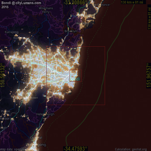
Analysis of Bondi night lights 2016
Square area 10x10 km:
 16.43%
90-99
18.88%80-89
4.55%70-79
9.62%60-69
4.55%50-59
3.85%40-49
5.07%30-39
2.8%20-29
11.01%10-19
16.61%0-9
6.64%Square area 50x50 km:
8.03%90-99
8.45%80-89
4.12%70-79
5.38%60-69
6.99%50-59
3.35%40-49
2.14%30-39
3%20-29
3.94%10-19
6.46%0-9
48.13%Clear (daylight) street map image can be seen on geolist.org.
Map coordinates:
33° 18' 31.2" South, 150° 33' 40.8" East
33° 53' 39.4" South, 151° 15' 52" East
34° 28' 33.3" South, 151° 58' 3.3" East
Some cities around Bondi sort by population:
• Randwick
2.7 km =1.7 mi,  212°
212°
• Coogee
3 km =1.9 mi,  196°
196°
• Paddington
3.2 km =2 mi,  290°
290°
• Bellevue Hill
2.1 km =1.3 mi,  323°
323°
• Rose Bay
2.9 km =1.8 mi,  11°
11°
• North Bondi
1.7 km =1.1 mi,  64°
64°
• Woollahra
2.7 km =1.7 mi, 285°
• Bronte
0.9 km =0.6 mi,  173°
173°
2208290 (p: 9,891)
Sources (retrieved 2019-11-25):
» Earth at Night: Flat Maps 2012, 2016